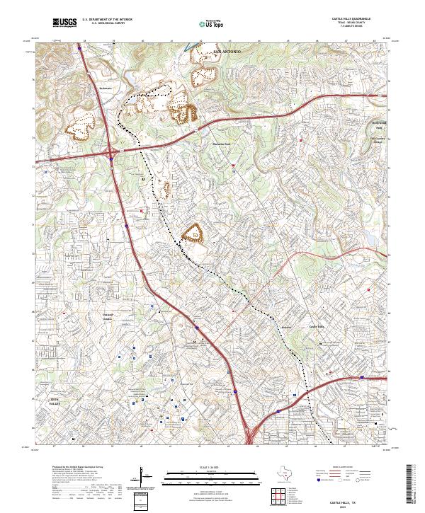
2023 Map of Castle Hills
USGS Topo · Published 2023About this map
Beckmann and Shavano Park anchor a landscape defined by significant educational and medical institutions in northern San Antonio. The map captures a dense network of suburban growth intermingled with notable family and institutional burial grounds, such as the Bacon - Beckmann Cem and the Missionary Oblates of Mary Immaculate Cem. This area serves as a major academic hub, featuring the The University of Texas at San Antonio Main Campus and several specialized health and art colleges.
Find a feature on this map
51 named features on this map. Tap any name to fly to it.
Don’t see what you’re looking for? This feature index may not catch every label — zoom into the map to look around manually.
Map Details
Editions of this 2023 Castle Hills Map
This is the sole edition of this map. No revisions or reprints were ever made.
Other maps of this area

1953 · Otis Ridge
USGS Topo · 1:24,000

1953 · Culebra Hill
USGS Topo · 1:24,000

1953 · San Antonio West
USGS Topo · 1:24,000

1953 · Bulverde
USGS Topo · 1:24,000

1953 · San Antonio East
USGS Topo · 1:24,000

1953 · Longhorn
USGS Topo · 1:24,000

1953 · Helotes
USGS Topo · 1:24,000

1953 · Castle Hills
USGS Topo · 1:24,000

1953 · Van Raub
USGS Topo · 1:24,000

1954 · San Antonio
USGS Topo · 1:250,000