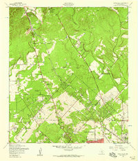
1953 Map of Castle Hills
USGS Topo · Published 1959About this map
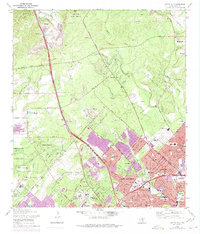
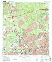
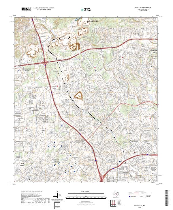
The northern reaches of San Antonio appear during a decade of rapid northward suburban expansion, centered on the emerging community of Castle Hills. This 1953 survey captures the landscape just as the city limits began to press against the ranch lands and creek valleys of the Texas Hill Country. The Southern Pacific railroad cuts a diagonal line through the terrain, passing through Beckmann and near the Camp Bullis Military Reservation in the north. Educational institutions like the Lockhill Sch and Little Red Wagon Sch speak to the growing residential character of the area, while the Oak Hills Country Club and Stowers Ranch indicate the mix of leisure and legacy agricultural use. The drainage patterns of Salado Creek and Leon Creek define the local topography, punctuated by high points such as Ninemile Hill.
Find a feature on this map
30 named features on this map. Tap any name to fly to it.
Don’t see what you’re looking for? This feature index may not catch every label — zoom into the map to look around manually.
Map Details
Editions of this 1953 Castle Hills Map
This is the sole edition of this map. No revisions or reprints were ever made.
Historical Maps of San Antonio Through Time
8 maps found