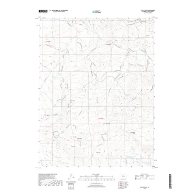
2019 Map of Castle Peak
USGS Topo · Published 2019About this map
Castle Peak rises as the central landmark of this high-altitude landscape in Eagle County, serving as a hub for a complex network of Bureau of Land Management routes. The terrain is defined by its water storage and natural basins, including Hurt Reservoir, G G Upper Reservoir, and the Castle Cr Ponds. The high country is segmented by prominent ridges and peaks such as Winter Ridge, Horse Mtn, and Pisgah Mtn.
Find a feature on this map
71 named features on this map. Tap any name to fly to it.
Don’t see what you’re looking for? This feature index may not catch every label — zoom into the map to look around manually.
Map Details
Editions of this 2019 Castle Peak Map
This is the sole edition of this map. No revisions or reprints were ever made.
Other maps of this area

1957 · Leadville
USGS Topo · 1:250,000

1959 · Leadville
USGS Topo · 1:250,000

1960 · Leadville
USGS Topo · 1:250,000

1962 · Leadville
USGS Topo · 1:250,000

1962 · Gypsum
USGS Topo · 1:24,000

1962 · Wolcott
USGS Topo · 1:24,000

1962 · Eagle
USGS Topo · 1:24,000

1964 · Leadville
USGS Topo · 1:250,000
1972 · Mc Coy
USGS Topo · 1:24,000

1972 · Blue Hill
USGS Topo · 1:24,000