
1962 Map of Wolcott
USGS Topo · Published 1964About this map
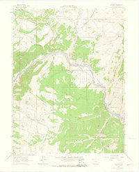
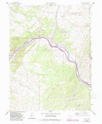
Eagle River defines the canyon corridor of this 1962 Colorado survey, serving as the primary artery for both transportation and irrigation. The Denver and Rio Grande Western Railroad follows the northern bank of the river, passing through the settlement of Wolcott and near the Horn Ranch. This era shows a landscape managed for water and agriculture, evidenced by features like the Holland Ditch and the Leonard Horn Ditch No 1 drawing from mountain streams.
Find a feature on this map
31 named features on this map. Tap any name to fly to it.
Don’t see what you’re looking for? This feature index may not catch every label — zoom into the map to look around manually.
Map Details
Editions of this 1962 Wolcott Map
6 editions found
Other maps of this area

1957 · Leadville
USGS Topo · 1:250,000

1959 · Leadville
USGS Topo · 1:250,000

1960 · Leadville
USGS Topo · 1:250,000

1962 · Leadville
USGS Topo · 1:250,000

1962 · Grouse Mountain
USGS Topo · 1:24,000

1962 · Fulford
USGS Topo · 1:24,000

1962 · Eagle
USGS Topo · 1:24,000

1962 · Edwards
USGS Topo · 1:24,000
1962 · The Seven Hermits
USGS Topo · 1:24,000

1964 · Leadville
USGS Topo · 1:250,000