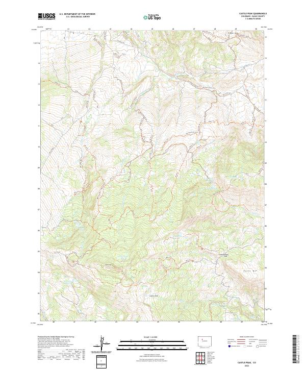
2022 Map of Castle Peak
USGS Topo · Published 2022About this map
Castle Peak dominates this high-altitude landscape of Eagle County, where a complex network of forest roads and trails reveals a history of land management and remote backcountry access. The terrain transitions from the heights of Pisgah Mtn and Horse Mtn down into the expansive Castle Park. Water is a defining element of this high country, marked by numerous small lakes and reservoirs such as Schlegel Lake, Edges Lake, and Hurt Reservoir.
Find a feature on this map
78 named features on this map. Tap any name to fly to it.
Don’t see what you’re looking for? This feature index may not catch every label — zoom into the map to look around manually.
Map Details
Editions of this 2022 Castle Peak Map
This is the sole edition of this map. No revisions or reprints were ever made.
Other maps of this area

1957 · Leadville
USGS Topo · 1:250,000

1959 · Leadville
USGS Topo · 1:250,000

1960 · Leadville
USGS Topo · 1:250,000

1962 · Leadville
USGS Topo · 1:250,000

1962 · Gypsum
USGS Topo · 1:24,000

1962 · Wolcott
USGS Topo · 1:24,000

1962 · Eagle
USGS Topo · 1:24,000

1964 · Leadville
USGS Topo · 1:250,000
1972 · Mc Coy
USGS Topo · 1:24,000

1972 · Blue Hill
USGS Topo · 1:24,000