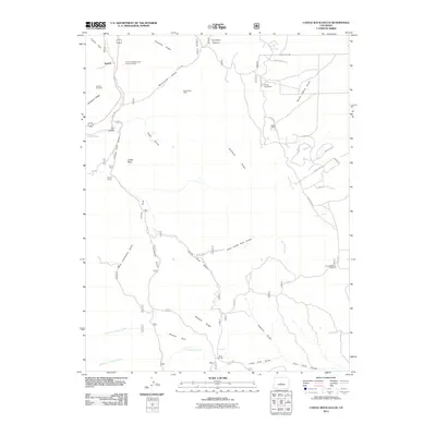
2011 Map of Castle Rock Gulch
USGS Topo · Published 2011About this map
Kaufman Ridge and the Bassam Ridge define the high country of Chaffee County, where local industry and settlement patterns follow the deep cuts of Trout Creek and Castle Rock Gulch. This landscape shows a distinct history of resource extraction, from the Trout Creek Mine View Number 2 Mine and the Lucky Jack Mine to the operations at Newett Quarries.
Find a feature on this map
50 named features on this map. Tap any name to fly to it.
Don’t see what you’re looking for? This feature index may not catch every label — zoom into the map to look around manually.
Map Details
Editions of this 2011 Castle Rock Gulch Map
This is the sole edition of this map. No revisions or reprints were ever made.
Other maps of this area

1954 · Pueblo
USGS Topo · 1:250,000

1955 · Buena Vista
USGS Topo · 1:62,500

1956 · Antero Reservoir
USGS Topo · 1:24,000

1956 · Antero Reservoir NE
USGS Topo · 1:24,000

1956 · Cameron Mountain
USGS Topo · 1:62,500

1956 · Poncha Springs
USGS Topo · 1:62,500

1956 · Montrose
USGS Topo · 1:250,000

1957 · Pueblo
USGS Topo · 1:250,000

1958 · Pueblo
USGS Topo · 1:250,000

1959 · Montrose
USGS Topo · 1:250,000