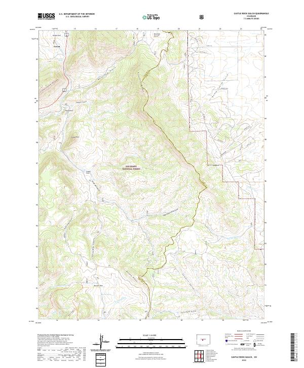
2022 Map of Castle Rock Gulch
USGS Topo · Published 2022About this map
San Isabel National Forest blankets the high terrain along the boundary between Chaffee and Park counties, where a complex network of gulches and ridges defines the landscape. The tiny settlement of Newett sits near Chubb Park in the northwest, serving as a rare point of habitation in an area dominated by named geological formations like The Castles and Castle Rock. This survey details a transition from prominent ridgelines such as Limestone Ridge and Kaufman Ridge to the high-elevation basin of Bassam Park.
Find a feature on this map
43 named features on this map. Tap any name to fly to it.
Don’t see what you’re looking for? This feature index may not catch every label — zoom into the map to look around manually.
Map Details
Editions of this 2022 Castle Rock Gulch Map
This is the sole edition of this map. No revisions or reprints were ever made.
Other maps of this area

1954 · Pueblo
USGS Topo · 1:250,000

1955 · Buena Vista
USGS Topo · 1:62,500

1956 · Antero Reservoir
USGS Topo · 1:24,000

1956 · Antero Reservoir NE
USGS Topo · 1:24,000

1956 · Cameron Mountain
USGS Topo · 1:62,500

1956 · Poncha Springs
USGS Topo · 1:62,500

1956 · Montrose
USGS Topo · 1:250,000

1957 · Pueblo
USGS Topo · 1:250,000

1958 · Pueblo
USGS Topo · 1:250,000

1959 · Montrose
USGS Topo · 1:250,000