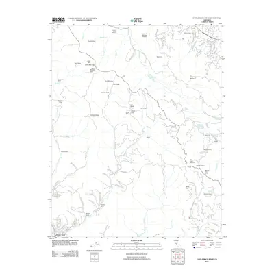
2012 Map of Castle Rock Ridge
USGS Topo · Published 2012About this map
Castle Rock Ridge defines the high country between the Santa Clara Valley and the San Lorenzo River drainage in this 2012 study. The landscape is a network of ridges and gulches, dominated by the notable Mount Bielawski and its associated Mount Bielawski Lookout. Cultural landmarks such as Hakone Gardens and the Villa Montalvo Arboretum are situated along the northeastern slopes, while the legacy of early habitation is visible in sites like Uncle Billys Cabin and Stuart Camp.
Find a feature on this map
128 named features on this map. Tap any name to fly to it.
Don’t see what you’re looking for? This feature index may not catch every label — zoom into the map to look around manually.
Map Details
Editions of this 2012 Castle Rock Ridge Map
This is the sole edition of this map. No revisions or reprints were ever made.
Other maps of this area

1889 · San Jose
USGS Topo · 1:62,500

1897 · San Jose
USGS Topo · 1:62,500

1897 · Palo Alto
USGS Topo · 1:62,500

1899 · San Jose
USGS Topo · 1:62,500

1899 · Palo Alto
USGS Topo · 1:62,500

1902 · Santa Cruz
USGS Topo · 1:125,000

1916 · New Almaden
USGS Topo · 1:48,000

1919 · New Almaden
USGS Topo · 1:62,500

1940 · Los Gatos
USGS Topo · 1:62,500

1941 · Palo Alto
USGS Topo · 1:62,500