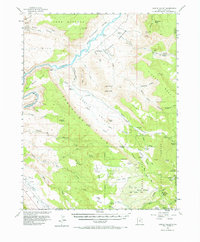
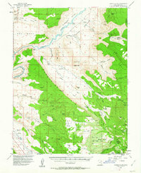
1954 Map of Castle Valley
USGS Topo · Published 1973About this map
The Colorado River carves a path through this 1954 landscape, flanked by the steep walls of Porcupine Rim and the dramatic spires of the Fisher Towers. This survey, conducted in cooperation with the Atomic Energy Commission, highlights a region defined by its geologic landmarks, from Delicate Arch in the northwest corner at Arches National Monument to the high-elevation slopes of the La Sal Mountains. Settlement is sparse and largely confined to isolated outposts like Titus Ranch and White Ranch, alongside several locations marked as historical sites, including Castleton (Site) and Richardson (Site).
Find a feature on this map
79 named features on this map. Tap any name to fly to it.
Don’t see what you’re looking for? This feature index may not catch every label — zoom into the map to look around manually.
Map Details
Editions of this 1954 Castle Valley Map
3 editions found

Other maps of this area

1885 · La Sal
USGS Topo · 1:250,000

1954 · Mt. Waas 4 SW
USGS Topo · 1:24,000

1954 · Mt. Waas 4 NW
USGS Topo · 1:24,000

1954 · Mt Peale 1 NW
USGS Topo · 1:24,000

1954 · Mt Peale 2 NW
USGS Topo · 1:24,000

1954 · Mt. Waas 3 NE
USGS Topo · 1:24,000

1954 · Mt. Waas 3 SE
USGS Topo · 1:24,000

1954 · Carlisle 1 NE
USGS Topo · 1:24,000

1954 · Mt Peale 2 NE
USGS Topo · 1:24,000

1954 · Mt. Waas 1 SW
USGS Topo · 1:24,000