
1954 Map of Castle Valley
USGS Topo · Published 1957About this map
The Colorado River carves through the heart of this mid-century canyon country, flanked by the high mesas and red rock formations that characterize the southeastern Utah landscape. The survey documents a transition from the lower elevations near Arches National Monument, featuring the iconic Delicate Arch, to the timbered heights of the Manti-La Sal National Forest. Evidence of early settlement and land use is sparse but significant, with several isolated outposts such as Titus Ranch and White Ranch dotting the drainages.
Find a feature on this map
64 named features on this map. Tap any name to fly to it.
Don’t see what you’re looking for? This feature index may not catch every label — zoom into the map to look around manually.
Map Details
Editions of this 1954 Castle Valley Map
3 editions found
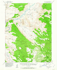
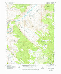
Other maps of this area

1885 · La Sal
USGS Topo · 1:250,000

1954 · Mt. Waas 4 SW
USGS Topo · 1:24,000

1954 · Mt. Waas 4 NW
USGS Topo · 1:24,000

1954 · Mt Peale 1 NW
USGS Topo · 1:24,000

1954 · Mt Peale 2 NW
USGS Topo · 1:24,000

1954 · Mt. Waas 3 NE
USGS Topo · 1:24,000

1954 · Mt. Waas 3 SE
USGS Topo · 1:24,000

1954 · Carlisle 1 NE
USGS Topo · 1:24,000

1954 · Mt Peale 2 NE
USGS Topo · 1:24,000

1954 · Mt. Waas 1 SW
USGS Topo · 1:24,000