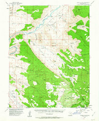
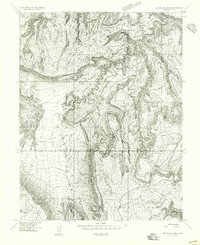
1954 Map of Castle Valley
USGS Topo · Published 1963About this map
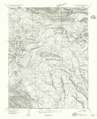
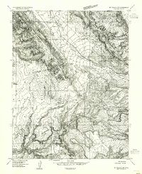
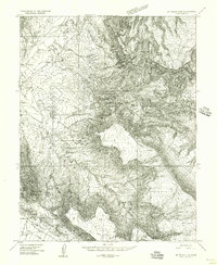
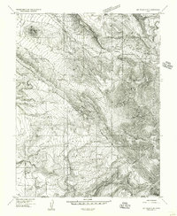
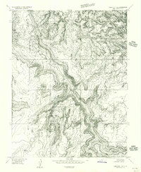
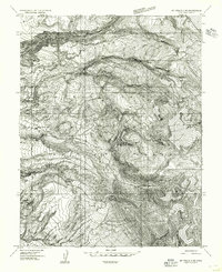
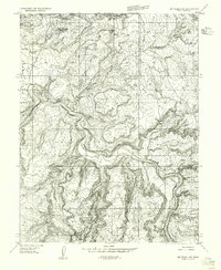
Colorado River carving through the heart of the Grand County desert dominates this 1950s survey, illustrating a landscape defined by dramatic erosional features and isolated ranching outposts. The map documents the sites of Castleton and Richardson, reflecting the transient nature of early settlements in this arid environment. To the north, the boundary of Arches National Monument includes the iconographic Delicate Arch, while the eastern portion highlights the vertical relief of Fisher Towers and the Adobe Mesa. The presence of several Prospect sites and Jeep Trail notations suggests the mid-century exploration for minerals, likely uranium, which was a significant driver of local activity during this era. In the southern uplands, the terrain shifts into the Manti-la Sal National Forest, where the Warner Ranger Sta and various stock ponds mark a different economy of timber and high-country grazing.
Find a feature on this map
88 named features on this map. Tap any name to fly to it.
Don’t see what you’re looking for? This feature index may not catch every label — zoom into the map to look around manually.
Map Details
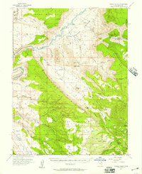
Editions of this 1954 Castle Valley Map
3 editions found
Other maps of this area

1885 · La Sal
USGS Topo · 1:250,000
1954 · Mt. Waas 4 SW
USGS Topo · 1:24,000
1954 · Mt. Waas 4 NW
USGS Topo · 1:24,000
1954 · Mt Peale 1 NW
USGS Topo · 1:24,000
1954 · Mt Peale 2 NW
USGS Topo · 1:24,000
1954 · Mt. Waas 3 NE
USGS Topo · 1:24,000
1954 · Mt. Waas 3 SE
USGS Topo · 1:24,000
1954 · Carlisle 1 NE
USGS Topo · 1:24,000
1954 · Mt Peale 2 NE
USGS Topo · 1:24,000
1954 · Mt. Waas 1 SW
USGS Topo · 1:24,000