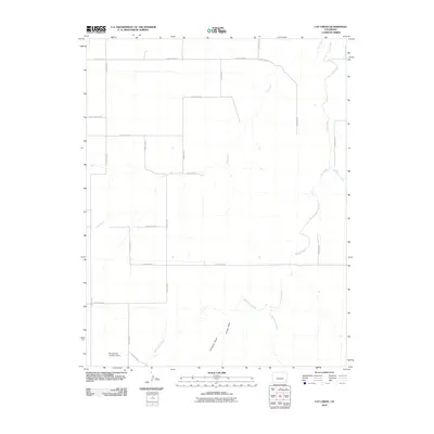
2010 Map of Cat Creek
USGS Topo · Published 2010About this map
Cat Creek and its various tributaries define the drainage patterns across this section of Prowers County, where the landscape is organized by a precise grid of rural thoroughfares. The 2010 survey shows a network of numbered and lettered routes, including County Road S, County Road L, and County Rd 36, which facilitate transit through this agricultural region. This geometric layout is interrupted only by the natural winding paths of Clay Creek and the notable Springfield Landing Strip in the southwestern corner, reflecting the continued importance of local aviation and transportation in the High Plains.
Find a feature on this map
23 named features on this map. Tap any name to fly to it.
Don’t see what you’re looking for? This feature index may not catch every label — zoom into the map to look around manually.
Map Details
Editions of this 2010 Cat Creek Map
This is the sole edition of this map. No revisions or reprints were ever made.
Other maps of this area

1892 · Two Butte
USGS Topo · 1:125,000

1893 · Two Butte
USGS Topo · 1:125,000

1955 · La Junta
USGS Topo · 1:250,000

1958 · La Junta
USGS Topo · 1:250,000

1968 · La Junta
USGS Topo · 1:250,000
1968 · Dripping Spring
USGS Topo · 1:24,000
1968 · Cat Creek NE
USGS Topo · 1:24,000
1968 · Cat Creek
USGS Topo · 1:24,000
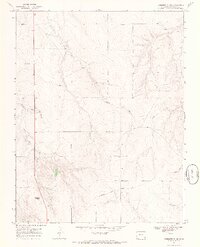
1968 · Gobblers Knob
USGS Topo · 1:24,000
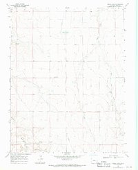
1968 · Denny Lake
USGS Topo · 1:24,000