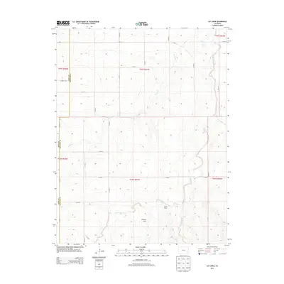
2013 Map of Cat Creek
USGS Topo · Published 2013About this map
Cat Creek meanders through this portion of the high plains along the border of Bent County and Prowers County. The landscape is defined by a dendritic drainage pattern where intermittent waterways like Clay Creek and its tributaries, West Clay Creek and East Clay Creek, carve into the terrain. This rural expanse is organized by a strict grid of section lines and county roads, such as Co Road S and Co Road L, which reflect the enduring Public Land Survey System. The presence of named geographic depressions including James Draw and Antelope Draw indicates the subtle but critical topographic variations that influence water movement across these grasslands. The absence of concentrated settlements highlights the area's primary use for open-range ranching or dryland agriculture during the early 21st century.
Find a feature on this map
29 named features on this map. Tap any name to fly to it.
Don’t see what you’re looking for? This feature index may not catch every label — zoom into the map to look around manually.
Map Details
Editions of this 2013 Cat Creek Map
This is the sole edition of this map. No revisions or reprints were ever made.
Other maps of this area

1892 · Two Butte
USGS Topo · 1:125,000

1893 · Two Butte
USGS Topo · 1:125,000

1955 · La Junta
USGS Topo · 1:250,000

1958 · La Junta
USGS Topo · 1:250,000

1968 · La Junta
USGS Topo · 1:250,000
1968 · Dripping Spring
USGS Topo · 1:24,000
1968 · Cat Creek NE
USGS Topo · 1:24,000
1968 · Cat Creek
USGS Topo · 1:24,000
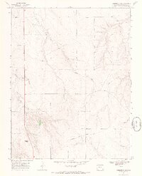
1968 · Gobblers Knob
USGS Topo · 1:24,000
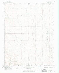
1968 · Denny Lake
USGS Topo · 1:24,000