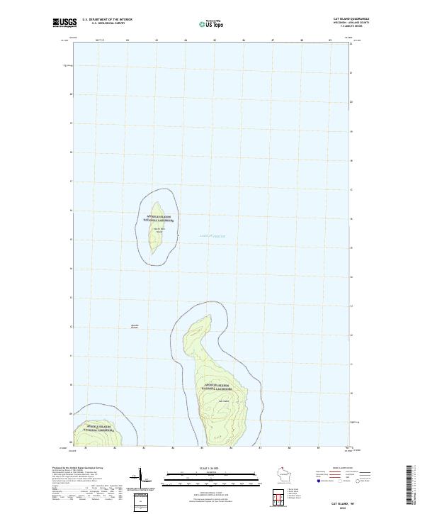
2022 Map of Cat Island
USGS Topo · Published 2022About this map
Apostle Islands National Lakeshore encompasses a series of secluded landmasses within the cold waters of Lake Superior. This topographic study highlights the isolated northern archipelago known as the Apostle Islands, specifically focusing on the landforms of Cat Island and North Twin Island. The map illustrates the shoreline contours and interior elevations of these islands, which are managed as part of the National Park System. The absence of roads or permanent settlements reflects the preservation of these islands as a maritime wilderness, where the natural environment is defined by Lake Superior's expansive surface and the discrete boundaries of Public Land Survey System townships t53n r2w and t52n r2w.
Find a feature on this map
7 named features on this map. Tap any name to fly to it.
Don’t see what you’re looking for? This feature index may not catch every label — zoom into the map to look around manually.
Map Details
Editions of this 2022 Cat Island Map
This is the sole edition of this map. No revisions or reprints were ever made.
Other maps of this area

1953 · Ashland
USGS Topo · 1:250,000

1954 · Two Harbors
USGS Topo · 1:250,000

1957 · Two Harbors
USGS Topo · 1:250,000

1958 · Ashland
USGS Topo · 1:250,000

1958 · Two Harbors
USGS Topo · 1:250,000
1963 · Outer Island
USGS Topo · 1:62,500

1963 · Cat Island
USGS Topo · 1:24,000

1963 · Michigan Island
USGS Topo · 1:24,000

1963 · Rocky Island
USGS Topo · 1:62,500
1963 · Outer Island
USGS Topo · 1:24,000