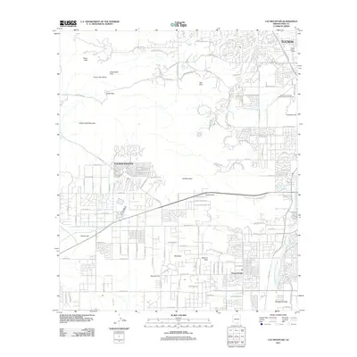
2011 Map of Cat Mountain
USGS Topo · Published 2011About this map
Cat Mountain and the western reaches of the Tucson metropolitan area define this 2011 survey, where residential expansion meets the distinctive peaks of the Tucson Mountains. The landscape transitions from the urbanized sprawl near Drexel Heights and the Santa Cruz Valley to the rocky heights of Golden Gate Mountain, Bushmaster Peak, and Tower Peak. This area is a significant corridor for scientific and recreational activity, featuring the University of Arizona Geochronology Laboratories and the El Rio Golf Course.
Find a feature on this map
62 named features on this map. Tap any name to fly to it.
Don’t see what you’re looking for? This feature index may not catch every label — zoom into the map to look around manually.
Map Details
Editions of this 2011 Cat Mountain Map
This is the sole edition of this map. No revisions or reprints were ever made.
Other maps of this area

1904 · Tucson
USGS Topo · 1:125,000

1905 · Tucson
USGS Topo · 1:125,000

1925 · San Xavier
USGS Topo · 1:62,500

1934 · Tucson Mountains
USGS Topo · 1:125,000

1943 · San Xavier Mission
USGS Topo · 1:62,500

1947 · Cortaro
USGS Topo · 1:62,500

1948 · Tucson
USGS Topo · 1:62,500

1956 · Tucson
USGS Topo · 1:250,000

1957 · San Xavier Mission
USGS Topo · 1:62,500

1957 · Tucson
USGS Topo · 1:24,000