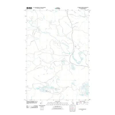
2011 Map of Cataract Basin
USGS Topo · Published 2011About this map
The Middle Branch Escanaba River meanders through this portion of Marquette County, defining a landscape shaped by water and recreation. This 2011 survey shows the river passing through the Cataract Basin, where the Cataract Dam Falls marks a significant local landmark. A network of rural county roads, such as County Rd 565 and County Hwy EO, connects the scattered water bodies that draw visitors to the region.
Find a feature on this map
49 named features on this map. Tap any name to fly to it.
Don’t see what you’re looking for? This feature index may not catch every label — zoom into the map to look around manually.
Map Details
Editions of this 2011 Cataract Basin Map
This is the sole edition of this map. No revisions or reprints were ever made.
Other maps of this area
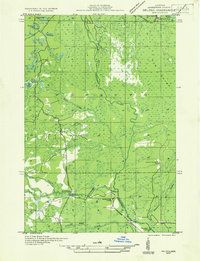
1932 · Helena NW
USGS Topo · 1:31,680
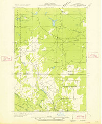
1932 · Harvey NW
USGS Topo · 1:31,680
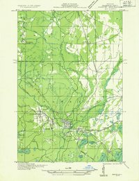
1932 · Harvey SW
USGS Topo · 1:31,680
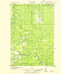
1951 · Helena NW
USGS Topo · 1:31,680
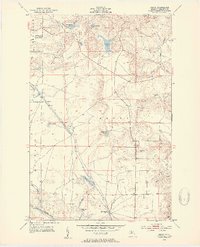
1952 · Sands
USGS Topo · 1:24,000
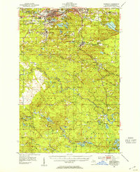
1952 · Ishpeming
USGS Topo · 1:62,500
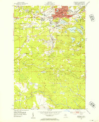
1952 · Ishpeming
USGS Topo · 1:24,000
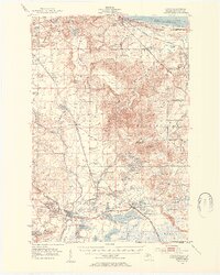
1952 · Gwinn
USGS Topo · 1:62,500
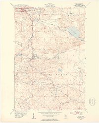
1952 · Palmer
USGS Topo · 1:24,000
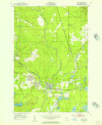
1952 · Gwinn
USGS Topo · 1:24,000