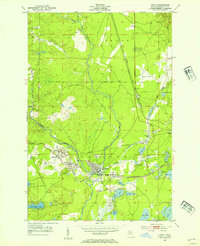
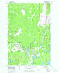
1952 Map of Gwinn
USGS Topo · Published 1954About this map
Mining operations in Forsyth and Richmond define this landscape along the Escanaba River and its East Branch. Although the survey notes all mining features are inactive by the early 1950s, the concentration of sites like the Stegmiller Mine, Princeton No 2 Mine, and Joplin Mine underscores the heavy industrial heritage of the Princeton and Gwinn districts. The settlement pattern is closely tied to the resource extraction era, with townsites such as Austin, New Swanzy, and Swanzy clustered around the river and rail corridors.
Find a feature on this map
52 named features on this map. Tap any name to fly to it.
Don’t see what you’re looking for? This feature index may not catch every label — zoom into the map to look around manually.
Map Details
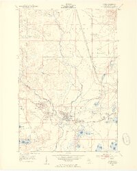
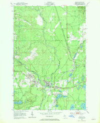
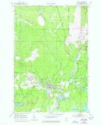
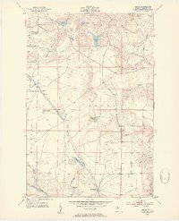
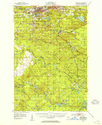
Editions of this 1952 Gwinn Map
5 editions found
Other maps of this area

1932 · Helena NW
USGS Topo · 1:31,680

1932 · Helena NE
USGS Topo · 1:31,680

1932 · Harvey NW
USGS Topo · 1:31,680

1932 · Harvey SE
USGS Topo · 1:31,680

1932 · Harvey SW
USGS Topo · 1:31,680

1932 · Harvey NE
USGS Topo · 1:31,680

1951 · Helena NE
USGS Topo · 1:31,680

1951 · Helena NW
USGS Topo · 1:31,680
1952 · Sands
USGS Topo · 1:24,000
1952 · Ishpeming
USGS Topo · 1:62,500
Featured Places
- Gwinn, Forsyth Township
- Forsyth Township, MI
- Princeton, Forsyth Township
- Richmond Township, MI
- New Swanzy, Forsyth Township