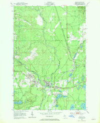
1952 Map of Gwinn
USGS Topo · Published 1970About this map
Mining operations and rail infrastructure define the landscape of Forsyth in this early 1950s survey. The concentration of iron mining activity is evident through numerous specialized sites including the Princeton No 2 Mine, Austin No 1 Mine, and the Francis Mine. These industrial hubs are supported by a dense network of transit, most notably the Chicago and North Western and the Lake Superior and Ishpeming railroads, which weave between the growing settlements of Princeton, Austin, and Gwinn. The terrain is also marked by the winding courses of the East Branch Escanaba River and Middle Branch Escanaba River, while the nascent Sawyer Airport and the Gwinn Landing Field signal the mid-century expansion of aviation in the Upper Peninsula. Dozens of small lakes, such as Johnson Lake and Little Shag Lake, break up the timbered lands surrounding the industrial core.
Find a feature on this map
48 named features on this map. Tap any name to fly to it.
Don’t see what you’re looking for? This feature index may not catch every label — zoom into the map to look around manually.
Map Details
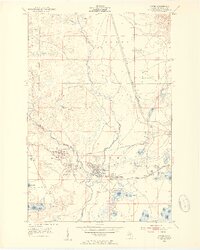
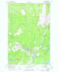
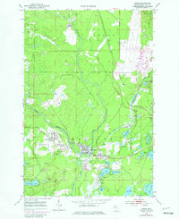
Editions of this 1952 Gwinn Map
5 editions found

Other maps of this area

1932 · Helena NW
USGS Topo · 1:31,680

1932 · Helena NE
USGS Topo · 1:31,680

1932 · Harvey NW
USGS Topo · 1:31,680

1932 · Harvey SE
USGS Topo · 1:31,680

1932 · Harvey SW
USGS Topo · 1:31,680

1932 · Harvey NE
USGS Topo · 1:31,680

1951 · Helena NE
USGS Topo · 1:31,680

1951 · Helena NW
USGS Topo · 1:31,680

1952 · Sands
USGS Topo · 1:24,000

1952 · Ishpeming
USGS Topo · 1:62,500