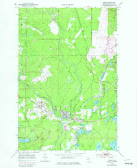
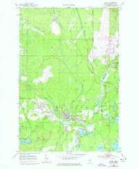
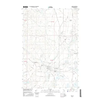
1952 Map of Gwinn
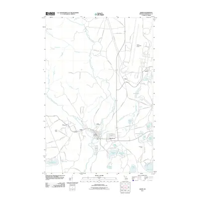
USGS Topo · Published 1982About this map
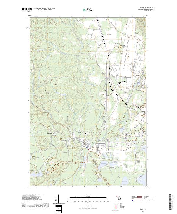
The Escanaba River and its multiple branches anchor this industrial landscape in Forsyth, where early 1950s mining operations define the local economy. The map reveals a dense network of iron mines clustered around the settlements of Princeton, Austin, and Gwinn, including the Princeton No 1 Mine, Stegmiller Mine, and Stephenson Mine. These operations were historically supported by the Chicago and North Western railroad, which provided the vital link for transporting ore out of the Upper Peninsula. To the northeast, the massive footprint of the K I Sawyer Air Force Base represents a significant shift in land use, contrasting with the scattered residential patterns of New Swanzy and Swanzy. This survey captures the region as it transitioned between its peak mining years and its mid-century role in national defense, while still preserving landmarks like the Gwinn Lookout Tower and Gwinn Cem.
Find a feature on this map
49 named features on this map. Tap any name to fly to it.
Don’t see what you’re looking for? This feature index may not catch every label — zoom into the map to look around manually.
Map Details
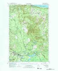
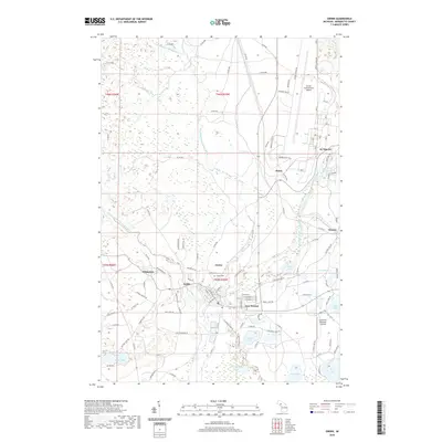
Editions of this 1952 Gwinn Map
5 editions found
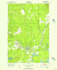
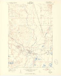
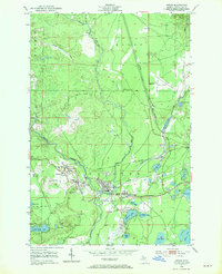
Historical Maps of Gwinn Through Time
8 maps found

Featured Locations
- Richmond Township, MI
- Forsyth Township, MI
- Gwinn, Forsyth Township
- New Swanzy, Forsyth Township
- Princeton, Forsyth Township