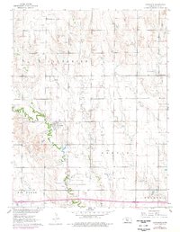
1961 Map of Catharine
USGS Topo · Published 1977About this map
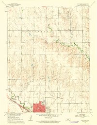
Catharine and Emmeram anchor this Ellis County landscape, reflecting the agricultural and industrial character of central Kansas in the early 1960s. The map illustrates a region where tradition and extraction coexist, centered on the St Catharine Ch and the winding course of the North Fork Big Creek. To the east, Sacred Heart Cem stands near the settlement of Emmeram, while the southern portion of the quadrangle is defined by the larger Big Creek valley and the Walker township area.
Find a feature on this map
13 named features on this map. Tap any name to fly to it.
Don’t see what you’re looking for? This feature index may not catch every label — zoom into the map to look around manually.
Map Details
Editions of this 1961 Catharine Map
2 editions found
Other maps of this area
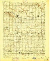
1896 · Hays
USGS Topo · 1:125,000

1896 · Plainville
USGS Topo · 1:125,000

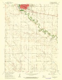
1955 · Great Bend
USGS Topo · 1:250,000

1955 · Beloit
USGS Topo · 1:250,000

1957 · Great Bend
USGS Topo · 1:250,000

1958 · Great Bend
USGS Topo · 1:250,000

1959 · Beloit
USGS Topo · 1:250,000
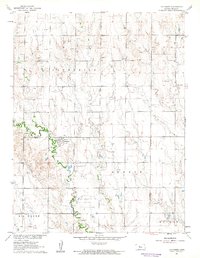
1961 · Hays South
USGS Topo · 1:24,000
1961 · Catharine
USGS Topo · 1:24,000
1961 · Hays North
USGS Topo · 1:24,000