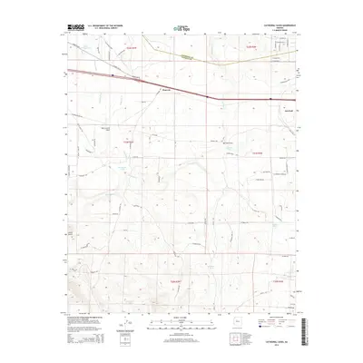
2014 Map of Cathedral Caves
USGS Topo · Published 2014About this map
Pinaveta and the western edge of Ash Fork are the primary focus of this high-desert landscape situated along the Coconino and Yavapai county line. The area's transportation history is deeply layered, showing the alignment of Historic US-66 alongside the modern interstate and an Old Railroad Bed cutting through the northern townships. The presence of numerous water sources, such as Little Pineveta Tank and Cathedral Tank, highlights the critical nature of water management in this arid environment near Smith Butte. Drainage patterns are defined by the winding paths of Partridge Cr and Pineveta Wash, which flow through features like Tom Lockett Draw. The map details the transition from rural ranch lands into the residential street grids developing on the outskirts of the local settlement.
Find a feature on this map
77 named features on this map. Tap any name to fly to it.
Don’t see what you’re looking for? This feature index may not catch every label — zoom into the map to look around manually.
Map Details
Editions of this 2014 Cathedral Caves Map
This is the sole edition of this map. No revisions or reprints were ever made.
Other maps of this area

1886 · Chino
USGS Topo · 1:250,000

1891 · Chino
USGS Topo · 1:250,000

1922 · Williams
USGS Topo · 1:125,000

1947 · Ash Fork
USGS Topo · 1:62,500

1947 · Picacho Butte
USGS Topo · 1:62,500

1948 · Ash Fork
USGS Topo · 1:63,360

1948 · Williams
USGS Topo · 1:250,000

1948 · Picacho Butte
USGS Topo · 1:63,360

1949 · Ash Fork
USGS Topo · 1:62,500

1950 · Picacho Butte
USGS Topo · 1:62,500