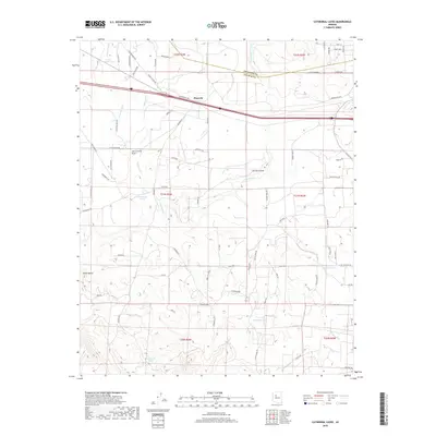
2018 Map of Cathedral Caves
USGS Topo · Published 2018About this map
Pinaveta sits at a geographic crossroads in Yavapai County, where modern infrastructure meets the remnants of older transit corridors. The northern portion of the landscape is defined by the Old Railroad Bed and the Gleed Station Rd, tracing the historical movement of goods and people through this high-desert region. The terrain is marked by a network of drainage systems including Pineveta Wash, Eightmile Cr, and the significant Partridge Cr, which winds across the northern half of the map. Ranching and water management are central to this area's identity, evidenced by numerous named reservoirs such as Cathedral Tank, Red Rock Tank, and Wheeler Tank. Distinctive landforms like Smith Butte and the wide Tom Lockett Draw provide natural landmarks in a territory that spans the Coconino and Yavapai county line.
Find a feature on this map
78 named features on this map. Tap any name to fly to it.
Don’t see what you’re looking for? This feature index may not catch every label — zoom into the map to look around manually.
Map Details
Editions of this 2018 Cathedral Caves Map
This is the sole edition of this map. No revisions or reprints were ever made.
Other maps of this area

1886 · Chino
USGS Topo · 1:250,000

1891 · Chino
USGS Topo · 1:250,000

1922 · Williams
USGS Topo · 1:125,000

1947 · Ash Fork
USGS Topo · 1:62,500

1947 · Picacho Butte
USGS Topo · 1:62,500

1948 · Ash Fork
USGS Topo · 1:63,360

1948 · Williams
USGS Topo · 1:250,000

1948 · Picacho Butte
USGS Topo · 1:63,360

1949 · Ash Fork
USGS Topo · 1:62,500

1950 · Picacho Butte
USGS Topo · 1:62,500