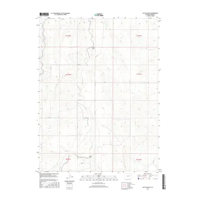
2016 Map of Cattle Gulch
USGS Topo · Published 2016About this map
Middle Bijou Cr and Key Cr weave through this section of Elbert County, defining a landscape of drainage systems and intermittent waterways. The area is characterized by the convergence of several named topographic features, including the prominent Cattle Gulch and the smaller Water Gulch to the south. A network of rural county roads, such as Co Rd 125 and Co Rd 166, provides access to these ranch lands, following the natural contours of the terrain. The map's layout reflects the Public Land Survey System, with clear township and range boundaries including t7s r60w and t7s r59w, which are essential for property research and land patent tracing in this part of the Colorado high plains. The drainage of Wilson Creek further illustrates the complex watershed that feeds into the larger Bijou Creek system.
Find a feature on this map
21 named features on this map. Tap any name to fly to it.
Don’t see what you’re looking for? This feature index may not catch every label — zoom into the map to look around manually.
Map Details
Editions of this 2016 Cattle Gulch Map
This is the sole edition of this map. No revisions or reprints were ever made.
Other maps of this area

1891 · Limon
USGS Topo · 1:125,000

1892 · Limon
USGS Topo · 1:125,000

1953 · Denver
USGS Topo · 1:250,000

1954 · Limon
USGS Topo · 1:250,000

1957 · Denver
USGS Topo · 1:250,000

1957 · Limon
USGS Topo · 1:250,000

1958 · Limon
USGS Topo · 1:250,000

1958 · Denver
USGS Topo · 1:250,000

1960 · Denver
USGS Topo · 1:250,000

1968 · Deer Trail
USGS Topo · 1:24,000