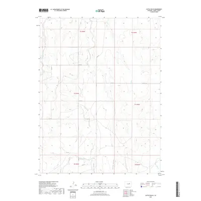
2019 Map of Cattle Gulch
USGS Topo · Published 2019About this map
Cattle Gulch and the surrounding drainage basins define this portion of Elbert County, where a network of seasonal streams and county roads crisscross the high plains landscape. The topography is shaped by the headwaters and tributaries of the Bijou Creek system, including Middle Bijou Cr and E Bijou Cr. This modern survey reveals a persistent rural structure, where land is divided into large sections such as t7s r60w and t7s r59w, a testament to the enduring township and range system in eastern Colorado. Long stretches of Co RD 129 and Co RD 125 provide the primary transit through this open country, connecting isolated ranching or agricultural sites to the broader region. Local hydrology is further marked by features like Water Gulch and Wilson Creek, which underscore the importance of water management in this arid environment.
Find a feature on this map
19 named features on this map. Tap any name to fly to it.
Don’t see what you’re looking for? This feature index may not catch every label — zoom into the map to look around manually.
Map Details
Editions of this 2019 Cattle Gulch Map
This is the sole edition of this map. No revisions or reprints were ever made.
Other maps of this area

1891 · Limon
USGS Topo · 1:125,000

1892 · Limon
USGS Topo · 1:125,000

1953 · Denver
USGS Topo · 1:250,000

1954 · Limon
USGS Topo · 1:250,000

1957 · Denver
USGS Topo · 1:250,000

1957 · Limon
USGS Topo · 1:250,000

1958 · Limon
USGS Topo · 1:250,000

1958 · Denver
USGS Topo · 1:250,000

1960 · Denver
USGS Topo · 1:250,000

1968 · Deer Trail
USGS Topo · 1:24,000