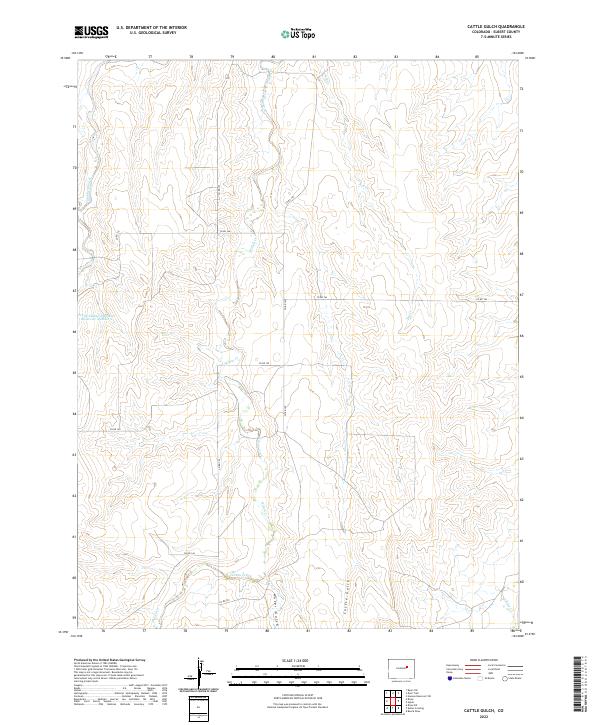
2022 Map of Cattle Gulch
USGS Topo · Published 2022About this map
Middle Bijou Cr and its various tributaries define this section of Elbert County, where the high plains landscape is carved by seasonal drainage systems. The northern reaches are marked by the confluence of Middle Bijou Cr and Key Cr, while the southern terrain is shaped by the deeper incisions of Cattle Gulch and Water Gulch. This modern survey illustrates the persistent ranching and agricultural framework of the region, anchored by a sparse network of county roads including Co RD 166 and Co RD 125 that navigate the undulating topography. Local water management is evident in the presence of the Frank Ehman Detention Reservoir Number 2, a specific landmark that highlights the importance of controlled irrigation and flood prevention in this arid environment. The map provides a clear view of the township and range grid, showing how the land remains partitioned into large sections such as t7s r60w, maintaining the rural character of the area.
Find a feature on this map
20 named features on this map. Tap any name to fly to it.
Don’t see what you’re looking for? This feature index may not catch every label — zoom into the map to look around manually.
Map Details
Editions of this 2022 Cattle Gulch Map
This is the sole edition of this map. No revisions or reprints were ever made.
Other maps of this area

1891 · Limon
USGS Topo · 1:125,000

1892 · Limon
USGS Topo · 1:125,000

1953 · Denver
USGS Topo · 1:250,000

1954 · Limon
USGS Topo · 1:250,000

1957 · Denver
USGS Topo · 1:250,000

1957 · Limon
USGS Topo · 1:250,000

1958 · Limon
USGS Topo · 1:250,000

1958 · Denver
USGS Topo · 1:250,000

1960 · Denver
USGS Topo · 1:250,000

1968 · Deer Trail
USGS Topo · 1:24,000