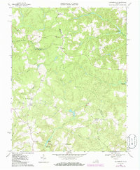
1968 Map of Cauthornville
USGS Topo · Published 1986About this map
King and Queen and Essex counties meet in a landscape defined by an intricate network of wetlands and small agricultural settlements. The transition from the King and Queen Swamp and Root Swamp in the west to the higher ground of Indian Neck and Cauthornville shows a historic reliance on the local hydraulics, with multiple impoundments like Garnett Millpond and Cheatwood Millpond illustrating a rural economy once tied to small-scale milling.
Find a feature on this map
34 named features on this map. Tap any name to fly to it.
Don’t see what you’re looking for? This feature index may not catch every label — zoom into the map to look around manually.
Map Details
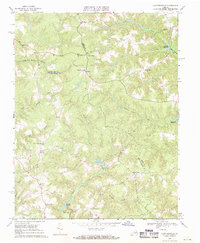
Editions of this 1968 Cauthornville Map
2 editions found
Other maps of this area

1889 · Fredericksburg
USGS Topo · 1:125,000

1892 · Fredericksburg
USGS Topo · 1:125,000

1892 · Montross
USGS Topo · 1:62,500

1894 · Fredericksburg
USGS Topo · 1:125,000

1895 · Nomini
USGS Topo · 1:125,000

1895 · Montross
USGS Topo · 1:62,500

1898 · Nomini
USGS Topo · 1:125,000

1918 · Tappahannock
USGS Topo · 1:62,500

1918 · Aylett
USGS Topo · 1:62,500

1919 · Tappahannock
USGS Topo · 1:62,500