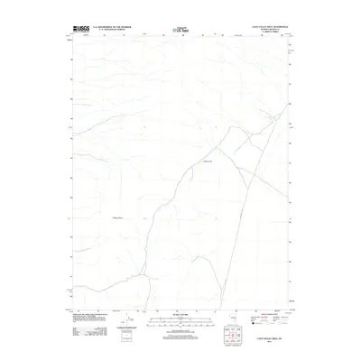
2012 Map of Cave Valley Well
USGS Topo · Published 2012About this map
Cave Valley Well serves as a vital water source in this arid high-desert landscape of Nye County, positioned along the edge of a vast basin. The terrain is defined by significant elevations such as Whipple Peak and the nearby Volcanic Hill, which overlook the valley floor. Transportation through this remote section of Nevada is limited to unpaved routes, most notably S Cave Valley Rd, reflecting a landscape dedicated to rangeland and resource management rather than dense settlement. The presence of these named peaks and the lone well indicates a reliance on specific topographic landmarks and water points for navigation and land use in a region where such features are sparse.
Find a feature on this map
4 named features on this map. Tap any name to fly to it.
Don’t see what you’re looking for? This feature index may not catch every label — zoom into the map to look around manually.
Map Details
Editions of this 2012 Cave Valley Well Map
This is the sole edition of this map. No revisions or reprints were ever made.
Other maps of this area

1956 · Lund
USGS Topo · 1:250,000

1960 · Lund
USGS Topo · 1:250,000

1969 · Gap Mountain
USGS Topo · 1:24,000

1969 · Shingle Pass
USGS Topo · 1:24,000

1969 · Sunnyside
USGS Topo · 1:24,000

1969 · Moorman Spring SE
USGS Topo · 1:24,000

1969 · Shingle Pass SE
USGS Topo · 1:24,000

1971 · Sidehill Spring
USGS Topo · 1:24,000

1971 · Cave Valley Well
USGS Topo · 1:24,000

1971 · Sidehill Pass
USGS Topo · 1:24,000