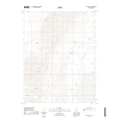
2018 Map of Cave Valley Well
USGS Topo · Published 2018About this map
Egan Range peaks and high desert drainage patterns dominate this high-altitude landscape in Lincoln County. Centered on the rugged topography of the mountains, the map details significant elevations such as Whipple Peak and the curiously named Volcanic Hill. The arid character of the region is emphasized by the reliance on specific water points like the Cave Valley Well, a critical landmark in the eastern portion of the survey area. To the south, Trough Spring Canyon cuts through the western slopes, leading down toward the basin. The transit network is sparse, defined primarily by the S Cave Valley Rd, which skirts the eastern edge of the range. This modern survey provides a clear view of the complex land divisions between T7N R62E and T6N R63E, illustrating how topography dictates the movement and infrastructure within Cave Valley.
Find a feature on this map
11 named features on this map. Tap any name to fly to it.
Don’t see what you’re looking for? This feature index may not catch every label — zoom into the map to look around manually.
Map Details
Editions of this 2018 Cave Valley Well Map
This is the sole edition of this map. No revisions or reprints were ever made.
Other maps of this area

1956 · Lund
USGS Topo · 1:250,000

1960 · Lund
USGS Topo · 1:250,000

1969 · Gap Mountain
USGS Topo · 1:24,000

1969 · Shingle Pass
USGS Topo · 1:24,000

1969 · Sunnyside
USGS Topo · 1:24,000

1969 · Moorman Spring SE
USGS Topo · 1:24,000

1969 · Shingle Pass SE
USGS Topo · 1:24,000

1971 · Sidehill Spring
USGS Topo · 1:24,000

1971 · Cave Valley Well
USGS Topo · 1:24,000

1971 · Sidehill Pass
USGS Topo · 1:24,000