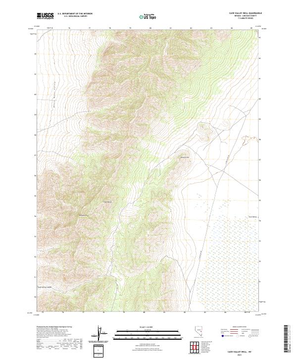
2021 Map of Cave Valley Well
USGS Topo · Published 2021About this map
Egan Range peaks and the high-desert basins of Lincoln County define this landscape, anchored by the prominent elevation of Whipple Peak. The map provides a detailed view of the eastern Great Basin, where the topography transitions from the steep slopes of the mountains down into the White River Valley and the smaller Cave Valley settlement area. This region is characterized by significant vertical relief, evidenced by features like Volcanic Hill and the deep incision of Trough Spring Canyon. Civil infrastructure is minimal, consisting primarily of the S Cave Valley Rd, which serves as the primary artery through this sparsely populated ranching and grazing territory. The survey reveals the traditional western township and range system, marking clear boundaries such as t7n r62e and t7n r63e as they overlay the natural landforms.
Find a feature on this map
11 named features on this map. Tap any name to fly to it.
Don’t see what you’re looking for? This feature index may not catch every label — zoom into the map to look around manually.
Map Details
Editions of this 2021 Cave Valley Well Map
This is the sole edition of this map. No revisions or reprints were ever made.
Other maps of this area

1956 · Lund
USGS Topo · 1:250,000

1960 · Lund
USGS Topo · 1:250,000

1969 · Gap Mountain
USGS Topo · 1:24,000

1969 · Shingle Pass
USGS Topo · 1:24,000

1969 · Sunnyside
USGS Topo · 1:24,000

1969 · Moorman Spring SE
USGS Topo · 1:24,000

1969 · Shingle Pass SE
USGS Topo · 1:24,000

1971 · Sidehill Spring
USGS Topo · 1:24,000

1971 · Cave Valley Well
USGS Topo · 1:24,000

1971 · Sidehill Pass
USGS Topo · 1:24,000