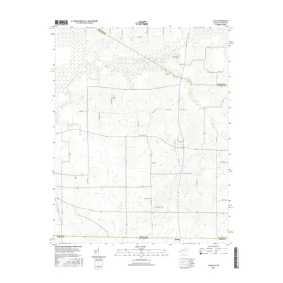
2016 Map of Cayce
USGS Topo · Published 2016About this map
Moscow, Cayce, and Jordan anchor this western Kentucky landscape, where the state line meets Tennessee and the borders of Hickman, Fulton, and Obion counties converge. The terrain is defined by the complex hydrology of the Mississippi embayment, featuring the winding Bayou de Chien and its tributary, the Little Bayou de Chien. Notable water bodies like Halfmoon Pond and Cornwall Pond dot the lowlands, while Rush Creek and Mud Creek drain the surrounding agricultural fields.
Find a feature on this map
45 named features on this map. Tap any name to fly to it.
Don’t see what you’re looking for? This feature index may not catch every label — zoom into the map to look around manually.
Map Details
Editions of this 2016 Cayce Map
This is the sole edition of this map. No revisions or reprints were ever made.
Other maps of this area

1939 · Hickman
USGS Topo · 1:62,500

1951 · Cayce
USGS Topo · 1:24,000

1951 · Oakton
USGS Topo · 1:24,000

1951 · Hickman
USGS Topo · 1:24,000

1951 · Wolf Island
USGS Topo · 1:24,000

1952 · Clinton
USGS Topo · 1:24,000

1952 · Crutchfield
USGS Topo · 1:24,000

1952 · Water Valley
USGS Topo · 1:62,500

1954 · Union City
USGS Topo · 1:24,000

1954 · Hickman
USGS Topo · 1:62,500