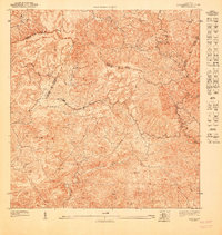
1947 Map of Cayey SE
USGS Topo · Published 1947About this map
The mountain ridges of the Sierra de Jajome dominate this 1940s landscape, where municipal boundaries converge at the heights of the Cerro de la Tabla. The settlement of Poblado Carmen sits along the Quebrada Carmen, providing a rare cluster of residential structures in a region otherwise characterized by isolated farmsteads and steep drainage basins. Near the center of the sheet, the Capilla de San Giraldo serves as a local landmark for the surrounding rural population. The intricate drainage network is defined by the Rio Jajome and the Rio Seco, alongside numerous mountain streams like the Quebrada del Palo. This preliminary topographic study, overseen by Commissioner Orlando R. Méndez for the Departamento del Interior, meticulously traces the complex terrain of the Cayey, Salinas, and Guayama municipal borders before significant modern development altered these highland passages.
Find a feature on this map
16 named features on this map. Tap any name to fly to it.
Don’t see what you’re looking for? This feature index may not catch every label — zoom into the map to look around manually.
Map Details
Editions of this 1947 Cayey SE Map
This is the sole edition of this map. No revisions or reprints were ever made.
Other maps of this area

1945 · Central Aguirre
USGS Topo · 1:30,000

1946 · Patillas
USGS Topo · 1:30,000

1946 · Cayey
USGS Topo · 1:30,000

1946 · Guayama
USGS Topo · 1:30,000

1947 · Cayey NO
USGS Topo · 1:10,000

1947 · Patillas SO
USGS Topo · 1:10,000
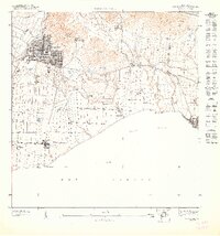
1947 · Guayama NO
USGS Topo · 1:10,000
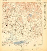
1947 · Central Aguirre NE
USGS Topo · 1:10,000

1947 · Cayey SO
USGS Topo · 1:10,000
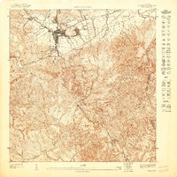
1947 · Cayey NE
USGS Topo · 1:10,000