
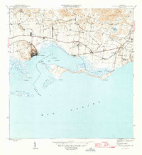
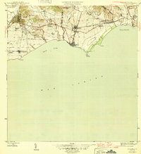
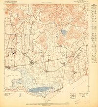
1947 Map of Patillas SO
USGS Topo · Published 1947About this map
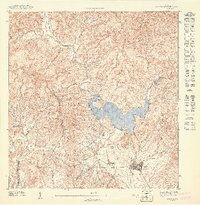
Hydropower and rural education define the landscape of this 1940s-era survey, where the rugged terrain of the Sierra de Patillas meets the agricultural valleys. The northern portion is dominated by the Bosque Insular de Carite and the waters of Lago Carite, feeding the critical infrastructure of the Planta Hidroelectrica de Carite No 1. A complex network of transmission lines and water management features, including the Canal de Guamani, illustrates the era's focus on industrializing the island's interior resources.
Find a feature on this map
19 named features on this map. Tap any name to fly to it.
Don’t see what you’re looking for? This feature index may not catch every label — zoom into the map to look around manually.
Map Details
Editions of this 1947 Patillas SO Map
This is the sole edition of this map. No revisions or reprints were ever made.
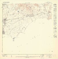
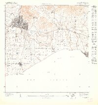
Other maps of this area
1945 · Central Aguirre
USGS Topo · 1:30,000

1946 · Patillas
USGS Topo · 1:30,000

1946 · Cayey
USGS Topo · 1:30,000
1946 · Guayama
USGS Topo · 1:30,000
1947 · Guayama NE
USGS Topo · 1:10,000
1947 · Guayama NO
USGS Topo · 1:10,000
1947 · Central Aguirre NE
USGS Topo · 1:10,000
1947 · Patillas SE
USGS Topo · 1:10,000
1947 · Cayey NE
USGS Topo · 1:10,000
1947 · Patillas NE
USGS Topo · 1:10,000