
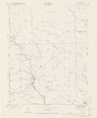
1943 Map of Cazadero
USGS Topo · Published 1956About this map
Cazadero serves as the focal point for this wartime survey of the mountainous Sonoma County landscape, where the confluence of Big Austin Creek and Ward Creek defined the local geography. The area's mid-century character is shaped by a dense network of private ranches and recreational retreats, including Romans Resort, Ohmen Resort, and the Berkeley Camp. Higher elevations are marked by distinctive landmarks such as The Butcherknife and the prominent Devils Backbone, while the eastern edge is anchored by the protected redwoods of Armstrong Grove State Park. Cultural life in these isolated canyons was organized around small district schools like Montgomery Sch and Austin Creek Sch, and the presence of Camp C C Moore (Boy Scouts) highlights the region's enduring role as a destination for outdoor youth organizations. The map also captures the industrial and agricultural footprints of family operations, from Marble Mine Ridge to the Williams Cattle Station.
Find a feature on this map
83 named features on this map. Tap any name to fly to it.
Don’t see what you’re looking for? This feature index may not catch every label — zoom into the map to look around manually.
Map Details
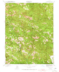
Editions of this 1943 Cazadero Map
3 editions found
Other maps of this area

1920 · Healdsburg
USGS Topo · 1:62,500

1921 · Skaggs
USGS Topo · 1:62,500

1933 · Healdsburg
USGS Topo · 1:48,000

1935 · Sebastopol
USGS Topo · 1:48,000

1940 · Healdsburg
USGS Topo · 1:62,500

1942 · Sebastopol
USGS Topo · 1:62,500

1942 · Arched Rock
USGS Topo · 1:24,000

1943 · Tombs Creek
USGS Topo · 1:24,000

1943 · Duncans Mills
USGS Topo · 1:24,000

1943 · Skaggs Springs
USGS Topo · 1:24,000