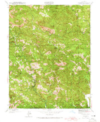
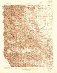
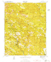
1943 Map of Cazadero
USGS Topo · Published 1965About this map
Cazadero stands as the central hub of this 1943 survey, situated where Austin Creek meets the steep, timbered ridges of western Sonoma County. The map details a landscape of specialized encampments and retreats, including Berkeley Camp, the Camp G G Moore (Boy Scouts), and several vacation spots like Garland Resort and Ohmen Resort. These features point to a mid-century era defined by recreational migration into the coastal range, supported by a network of rural schools like Austin Creek Sch and Montgomery Sch.
Find a feature on this map
77 named features on this map. Tap any name to fly to it.
Don’t see what you’re looking for? This feature index may not catch every label — zoom into the map to look around manually.
Map Details
Editions of this 1943 Cazadero Map
3 editions found
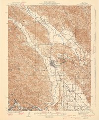
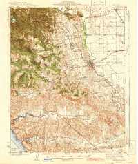
Other maps of this area
1920 · Healdsburg
USGS Topo · 1:62,500

1921 · Skaggs
USGS Topo · 1:62,500
1933 · Healdsburg
USGS Topo · 1:48,000
1935 · Sebastopol
USGS Topo · 1:48,000
1940 · Healdsburg
USGS Topo · 1:62,500
1942 · Sebastopol
USGS Topo · 1:62,500
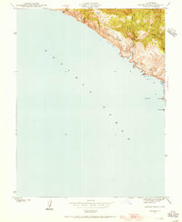
1942 · Arched Rock
USGS Topo · 1:24,000

1943 · Tombs Creek
USGS Topo · 1:24,000
1943 · Cazadero
USGS Topo · 1:24,000
1943 · Duncans Mills
USGS Topo · 1:24,000