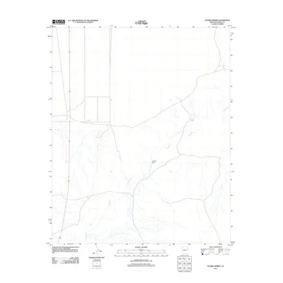
2011 Map of Ceadro Spring
USGS Topo · Published 2011About this map
Zuni River meanders through this portion of eastern Arizona, defining the drainage patterns of a landscape marked by subtle relief and sparse water sources. This 2011 survey illustrates the arid character of the region, where topographical interest centers on the few named water and terrain features that survive the dry environment. Jaralosa Draw cuts through the center of the sheet, providing a natural channel for seasonal runoff that eventually meets the river. The presence of Ceadro Spring serves as a critical localized landmark, representing one of the few named perennial or semi-perennial water points in this section of the high desert. The map primarily reflects an open, undeveloped territory with a limited network of roads, documenting the rural isolation of this part of the state.
Find a feature on this map
3 named features on this map. Tap any name to fly to it.
Don’t see what you’re looking for? This feature index may not catch every label — zoom into the map to look around manually.
Map Details
Editions of this 2011 Ceadro Spring Map
This is the sole edition of this map. No revisions or reprints were ever made.
Other maps of this area
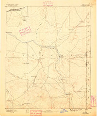
1886 · St Johns
USGS Topo · 1:250,000
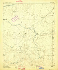
1892 · St Johns
USGS Topo · 1:250,000

1954 · Saint Johns
USGS Topo · 1:250,000

1957 · Saint Johns
USGS Topo · 1:250,000

1958 · Saint Johns
USGS Topo · 1:250,000

1962 · Saint Johns
USGS Topo · 1:250,000
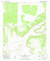
1977 · Ceadro Spring
USGS Topo · 1:24,000
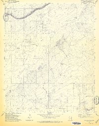
1978 · Fairchild Well
USGS Topo · 1:24,000
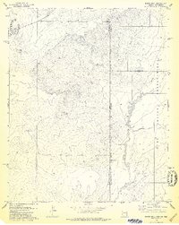
1978 · Barth Well
USGS Topo · 1:24,000
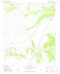
1978 · Schnebly Well
USGS Topo · 1:24,000