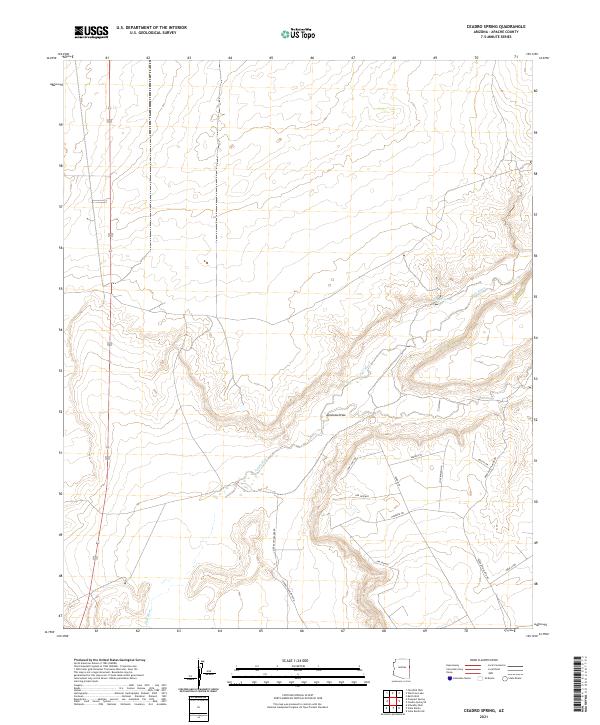
2021 Map of Ceadro Spring
USGS Topo · Published 2021About this map
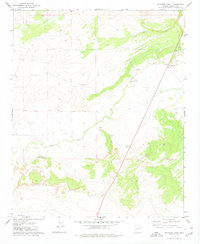
The Zuni River winds through this high-desert portion of Apache County, cutting a path across a landscape defined by dramatic drainage patterns and isolated water sources. Significant topographic features like Jaralosa Draw and the namesake Ceadro Spring highlight the critical importance of water management in this arid region. The terrain is marked by the transition from open range to the modern residential development patterns seen in the southern half of the quadrangle.
Find a feature on this map
18 named features on this map. Tap any name to fly to it.
Don’t see what you’re looking for? This feature index may not catch every label — zoom into the map to look around manually.
Map Details
Editions of this 2021 Ceadro Spring Map
This is the sole edition of this map. No revisions or reprints were ever made.
Other maps of this area

1886 · St Johns
USGS Topo · 1:250,000

1892 · St Johns
USGS Topo · 1:250,000

1954 · Saint Johns
USGS Topo · 1:250,000

1957 · Saint Johns
USGS Topo · 1:250,000

1958 · Saint Johns
USGS Topo · 1:250,000

1962 · Saint Johns
USGS Topo · 1:250,000
1977 · Ceadro Spring
USGS Topo · 1:24,000
1978 · Fairchild Well
USGS Topo · 1:24,000
1978 · Barth Well
USGS Topo · 1:24,000
1978 · Schnebly Well
USGS Topo · 1:24,000