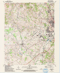
2022 Map of Cecilia
USGS Topo · Published 2022About this map
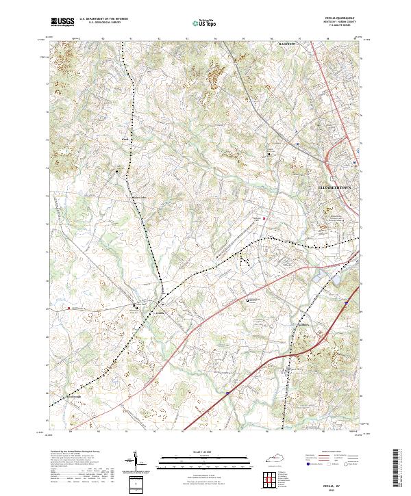
Cecilia and its surrounding communities in Hardin County are defined by a mix of educational institutions and established local settlements. The campus of Elizabethtown Community and Technical College sits on the eastern edge of the map, while Addington Field and Elizabethtown Memorial Gardens reflect the area's modern infrastructure. For those researching local families, several burial grounds including Cecilia Cem, Saint John Cem, and the English Miller Cem provide important genealogical anchors within this landscape.
Find a feature on this map
174 named features on this map. Tap any name to fly to it.
Don’t see what you’re looking for? This feature index may not catch every label — zoom into the map to look around manually.
Map Details
Editions of this 2022 Cecilia Map
This is the sole edition of this map. No revisions or reprints were ever made.
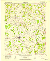
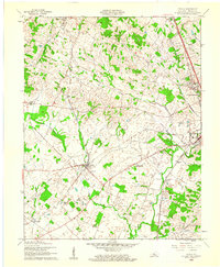
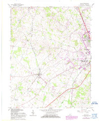
Historical Maps of Kraft Through Time
5 maps found