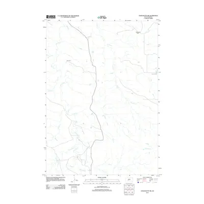
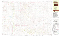
2012 Map of Cedar Butte NW
USGS Topo · Published 2012About this map
Black Pipe Creek and its many tributaries carve a intricate drainage pattern through this portion of the Corn Creek Segment in Mellette County. The landscape is defined by vast rangelands where isolated homesteads like Walker Ranch and Braunson Ranch represent the primary human imprint on the terrain. In the northern reaches, Horseshoe Butte stands as a prominent elevation landmark amidst the winding paths of Porcupine Creek and Simms Creek. This 2012 survey illustrates the enduring rural character of South Dakota's interior, where small seasonal waterways such as Church Creek and Pine Springs Creek define the local geography. The map provides a clear look at the dispersed nature of land use in the region, centered on established ranching operations and natural water courses.
Find a feature on this map
10 named features on this map. Tap any name to fly to it.
Don’t see what you’re looking for? This feature index may not catch every label — zoom into the map to look around manually.
Map Details
Editions of this 2012 Cedar Butte NW Map
This is the sole edition of this map. No revisions or reprints were ever made.
Other maps of this area
1951 · Stamford SW
USGS Topo · 1:24,000
1951 · Belvidere
USGS Topo · 1:24,000
1951 · Stamford SE
USGS Topo · 1:24,000
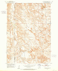
1951 · Cedar Butte NW
USGS Topo · 1:24,000
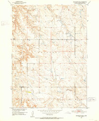
1951 · Cedar Butte NE
USGS Topo · 1:24,000
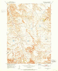
1951 · Pass Creek NE
USGS Topo · 1:24,000

1955 · Martin
USGS Topo · 1:250,000

1958 · Martin
USGS Topo · 1:250,000
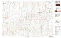
1980 · Kadoka
USGS Topo · 1:100,000
1981 · Cedar Butte
USGS Topo · 1:25,000