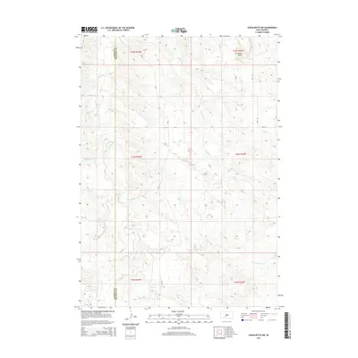
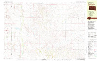
2015 Map of Cedar Butte NW
USGS Topo · Published 2015About this map
The rolling plains of Mellette County are defined by an intricate network of waterways, most notably Black Pipe Cr and Cottonwood Cr, which carve through the prairie landscape. This 2015 U.S. Geological Survey topographic map illustrates the remote ranching country near the Jackson County line, where the terrain is punctuated by the prominent Horseshoe Butte in the northeast.
Find a feature on this map
18 named features on this map. Tap any name to fly to it.
Don’t see what you’re looking for? This feature index may not catch every label — zoom into the map to look around manually.
Map Details
Editions of this 2015 Cedar Butte NW Map
This is the sole edition of this map. No revisions or reprints were ever made.
Other maps of this area
1951 · Stamford SW
USGS Topo · 1:24,000
1951 · Belvidere
USGS Topo · 1:24,000
1951 · Stamford SE
USGS Topo · 1:24,000
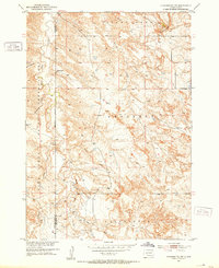
1951 · Cedar Butte NW
USGS Topo · 1:24,000
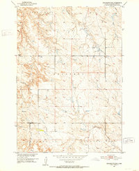
1951 · Cedar Butte NE
USGS Topo · 1:24,000
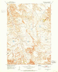
1951 · Pass Creek NE
USGS Topo · 1:24,000

1955 · Martin
USGS Topo · 1:250,000

1958 · Martin
USGS Topo · 1:250,000
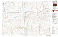
1980 · Kadoka
USGS Topo · 1:100,000
1981 · Cedar Butte
USGS Topo · 1:25,000