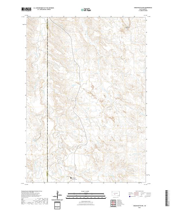
2021 Map of Cedar Butte NW
USGS Topo · Published 2021About this map
Black Pipe Cr and Porcupine Cr carve a complex network of drainages across this portion of the South Dakota landscape, marking the boundary where Jackson and Mellette counties meet. The terrain is defined by its water-carved geography, with smaller tributaries like Simms Cr, Church Cr, and Paulmyer Cr feeding into the larger creek systems. Historical and genealogical interest is concentrated in the southern sections, where the Prospect Cem and the First Body of Jesus Christ Cem Corn Creek are located near the intersection of various ranch roads. In the northeast, Horseshoe Butte provides a distinct topographic landmark amidst the branching paths of Cottonwood Cr. The map captures a rural environment where land use is dictated by the natural flow of water and the high-ground features like Pine Springs.
Find a feature on this map
18 named features on this map. Tap any name to fly to it.
Don’t see what you’re looking for? This feature index may not catch every label — zoom into the map to look around manually.
Map Details
Editions of this 2021 Cedar Butte NW Map
This is the sole edition of this map. No revisions or reprints were ever made.
Other maps of this area

1951 · Stamford SW
USGS Topo · 1:24,000

1951 · Belvidere
USGS Topo · 1:24,000

1951 · Stamford SE
USGS Topo · 1:24,000

1951 · Cedar Butte NW
USGS Topo · 1:24,000

1951 · Cedar Butte NE
USGS Topo · 1:24,000

1951 · Pass Creek NE
USGS Topo · 1:24,000

1955 · Martin
USGS Topo · 1:250,000

1958 · Martin
USGS Topo · 1:250,000

1980 · Kadoka
USGS Topo · 1:100,000

1981 · Cedar Butte
USGS Topo · 1:25,000