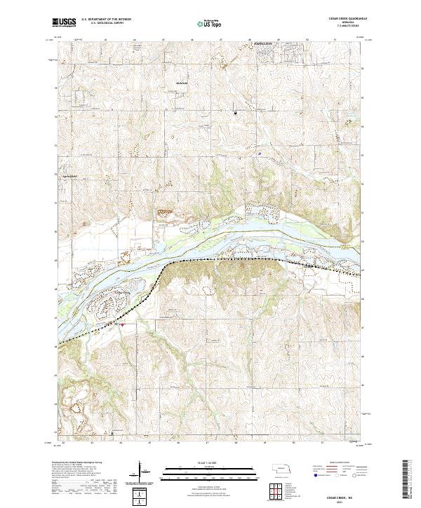
2021 Map of Cedar Creek
USGS Topo · Published 2021About this map
The Platte River carves a central path through this landscape, marking the boundary between Sarpy and Cass counties and defining the local geography with The Narrows Trl. Along the southern bank, the village of Cedar Creek serves as a focal point for the riverside community, while the larger town of Springfield sits to the west. The terrain is characterized by the convergence of smaller water bodies such as Springfield Creek and Buffalo Creek, which feed into the larger river system.
Find a feature on this map
58 named features on this map. Tap any name to fly to it.
Don’t see what you’re looking for? This feature index may not catch every label — zoom into the map to look around manually.
Map Details
Editions of this 2021 Cedar Creek Map
This is the sole edition of this map. No revisions or reprints were ever made.
Other maps of this area

1893 · Fremont
USGS Topo · 1:125,000

1896 · Fremont
USGS Topo · 1:125,000

1903 · Weeping Water
USGS Topo · 1:125,000

1929 · Weeping Water
USGS Topo · 1:125,000

1935 · Nehawka
USGS Topo · 1:48,000

1940 · Nehawka
USGS Topo · 1:62,500

1954 · Omaha
USGS Topo · 1:250,000

1955 · Fremont
USGS Topo · 1:250,000

1955 · Nebraska City
USGS Topo · 1:250,000

1955 · Lincoln
USGS Topo · 1:250,000