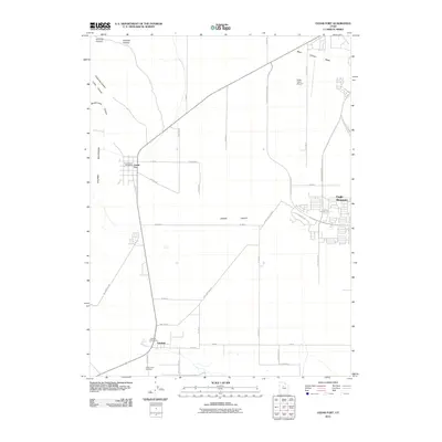
2011 Map of Cedar Fort
USGS Topo · Published 2011About this map
Cedar Fort sits at the western edge of Cedar Valley, serving as a central hub in a landscape defined by its historical transit routes and proximity to the Oquirrh Mountains. This 2011 survey illustrates the modern expansion of Eagle Mountain to the east, contrasting with the established, smaller settlements of Fairfield and Cedar Fort. The map highlights the area's rich history through its preservation of the Camp Floyd Cemetery and Fairfield Cemetery, markers of early territorial significance near the Big Spring water source.
Find a feature on this map
44 named features on this map. Tap any name to fly to it.
Don’t see what you’re looking for? This feature index may not catch every label — zoom into the map to look around manually.
Map Details
Editions of this 2011 Cedar Fort Map
This is the sole edition of this map. No revisions or reprints were ever made.
Other maps of this area

1885 · Salt Lake
USGS Topo · 1:250,000

1885 · Tooele Valley
USGS Topo · 1:250,000

1915 · Fairfield
USGS Topo · 1:62,500

1917 · Fairfield
USGS Topo · 1:62,500

1947 · Fivemile Pass
USGS Topo · 1:62,500

1947 · Goshen Pass
USGS Topo · 1:24,000

1949 · Fivemile Pass
USGS Topo · 1:24,000

1949 · Goshen Pass
USGS Topo · 1:24,000
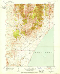
1950 · Soldiers Pass
USGS Topo · 1:24,000
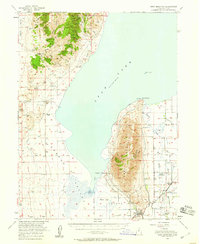
1950 · West Mountain
USGS Topo · 1:62,500