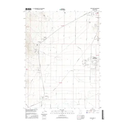
2017 Map of Cedar Fort
USGS Topo · Published 2017About this map
Cedar Fort and the expansive Cedar Valley are captured here during a period of significant suburban expansion in Utah County. The map details the transition from traditional rural ranching lands to modern residential developments, particularly within the growing footprint of Eagle Mountain. This era shows a landscape where historic pioneer-era sites, such as the Cedar Fort Pioneer Cem and the Camp Floyd Cem near Fairfield, coexist with new infrastructure like Pony Express Pkwy and E Sod Farm Bypass Rd. The terrain is defined by the contrast between the flat valley floor and the surrounding high ground of Long Ridge and Threemile Canyon. Small-scale aviation is represented by the Cedar Valley Airport and Glenmar Ranch Airport, while water management remains visible through features like the Cedar Fort Ditch.
Find a feature on this map
62 named features on this map. Tap any name to fly to it.
Don’t see what you’re looking for? This feature index may not catch every label — zoom into the map to look around manually.
Map Details
Editions of this 2017 Cedar Fort Map
This is the sole edition of this map. No revisions or reprints were ever made.
Other maps of this area

1885 · Salt Lake
USGS Topo · 1:250,000

1885 · Tooele Valley
USGS Topo · 1:250,000

1915 · Fairfield
USGS Topo · 1:62,500

1917 · Fairfield
USGS Topo · 1:62,500

1947 · Fivemile Pass
USGS Topo · 1:62,500

1947 · Goshen Pass
USGS Topo · 1:24,000

1949 · Fivemile Pass
USGS Topo · 1:24,000

1949 · Goshen Pass
USGS Topo · 1:24,000
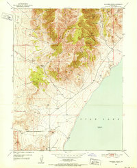
1950 · Soldiers Pass
USGS Topo · 1:24,000
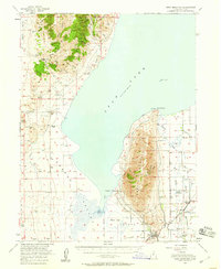
1950 · West Mountain
USGS Topo · 1:62,500