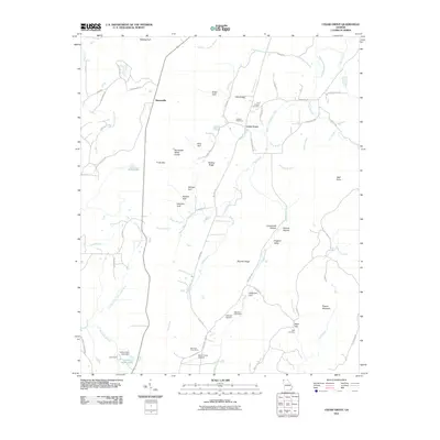
2011 Map of Cedar Grove
USGS Topo · Published 2011About this map
Masseyville and Cedar Grove anchor this pocket of northwest Georgia, where the land is defined by the sharp verticality of Pigeon Mountain and High Point. The landscape reflects a deep history of rural settlement, evidenced by the cluster of community burial grounds like the Old Antioch Cemetery, Antioch Cemetery, and Rape Cemetery. These sites are often positioned near the base of prominent ridges like Shankle Ridge or tucked into dramatic terrain features such as Hogjowl Valley and Gooseneck Hollow. Transportation routes like Tatum Mining Rd suggest the area's industrial past, while the presence of the Mount Cove Stolport and the agricultural grounds of Mountain Cove Farms indicate the evolving use of the broad valley floors between the steep gulfs.
Find a feature on this map
85 named features on this map. Tap any name to fly to it.
Don’t see what you’re looking for? This feature index may not catch every label — zoom into the map to look around manually.
Map Details
Editions of this 2011 Cedar Grove Map
This is the sole edition of this map. No revisions or reprints were ever made.
Other maps of this area

1886 · Ringgold
USGS Topo · 1:125,000

1886 · Stevenson
USGS Topo · 1:125,000

1892 · Ringgold
USGS Topo · 1:125,000

1892 · Stevenson
USGS Topo · 1:125,000

1895 · Stevenson
USGS Topo · 1:125,000

1935 · Durham
USGS Topo · 1:24,000

1936 · Trenton
USGS Topo · 1:24,000

1936 · Kensington
USGS Topo · 1:24,000

1936 · Sulphur Springs
USGS Topo · 1:24,000

1936 · Estelle
USGS Topo · 1:24,000