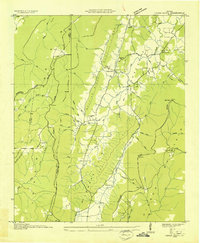
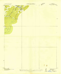
1936 Map of Cedar Grove
USGS Topo · Published 1936About this map
McLemore Cove dominates the landscape between Lookout Mountain and Pigeon Mountain in this 1936 field examination. The area reveals a well-established rural network of family-named branches and hollows, such as Andrews Branch and Nichols Hollow, centering around the small settlements of Masseyville and Cedar Grove. The topographical detail shows a transition of ridges including Harp Ridge and Shankle Ridge, which define the drainage patterns of Mud Creek and the surrounding gulfs.
Find a feature on this map
68 named features on this map. Tap any name to fly to it.
Don’t see what you’re looking for? This feature index may not catch every label — zoom into the map to look around manually.
Map Details
Editions of this 1936 Cedar Grove Map
This is the sole edition of this map. No revisions or reprints were ever made.
Other maps of this area

1886 · Ringgold
USGS Topo · 1:125,000

1886 · Stevenson
USGS Topo · 1:125,000

1892 · Ringgold
USGS Topo · 1:125,000

1892 · Stevenson
USGS Topo · 1:125,000

1895 · Stevenson
USGS Topo · 1:125,000
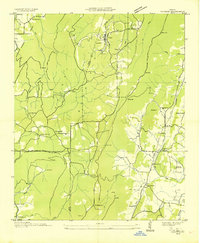
1935 · Durham
USGS Topo · 1:24,000

1936 · Trenton
USGS Topo · 1:24,000
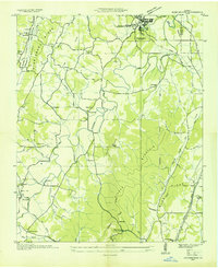
1936 · Kensington
USGS Topo · 1:24,000
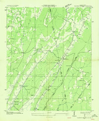
1936 · Sulphur Springs
USGS Topo · 1:24,000
1936 · Estelle
USGS Topo · 1:24,000