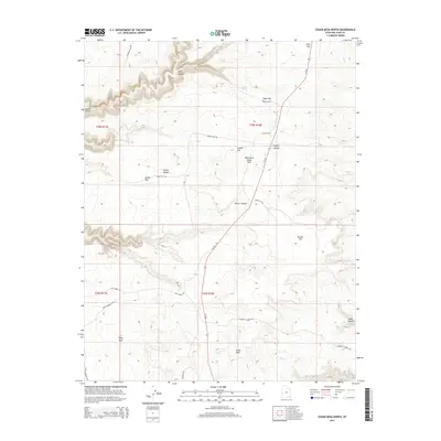
2014 Map of Cedar Mesa North
USGS Topo · Published 2014About this map
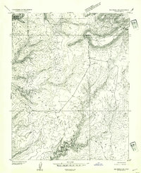
Grand Gulch and the deeply incised drainages of the Cedar Mesa plateau characterize this 2014 survey. The high desert landscape is punctuated by numerous topographical landmarks including Polly Mesa, Long Flat, and Coyote Flat. A sparse network of unpaved tracks such as Slick Horn Rd, Snow Flat Rd, and Point Lookout Rd provides the primary access to these remote reaches. The presence of a Watershed Study Plot indicates the ongoing scientific interest in the region's hydrology, where water is scarce and centered on isolated points like Lion Tracks Spring and Todie Spring. Several named canyons, such as Bullet Canyon and Road Canyon, illustrate the erosional patterns that have shaped this portion of San Juan County, Utah.
Find a feature on this map
32 named features on this map. Tap any name to fly to it.
Don’t see what you’re looking for? This feature index may not catch every label — zoom into the map to look around manually.
Map Details
Editions of this 2014 Cedar Mesa North Map
This is the sole edition of this map. No revisions or reprints were ever made.
Other maps of this area

1886 · Henry Mountains
USGS Topo · 1:250,000
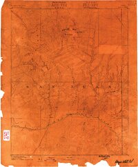
1886 · Abajo
USGS Topo · 1:250,000
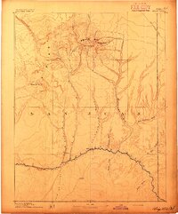
1892 · Abajo
USGS Topo · 1:250,000

1892 · Henry Mountains
USGS Topo · 1:250,000
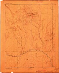
1893 · Abajo
USGS Topo · 1:250,000
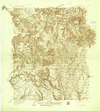
1935 · Elk Ridge
USGS Topo · 1:96,000
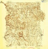
1940 · Elk Ridge
USGS Topo · 1:125,000
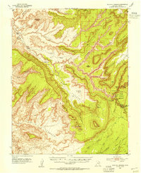
1952 · Natural Bridges
USGS Topo · 1:62,500
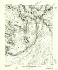
1954 · White Canyon 4 SE
USGS Topo · 1:24,000
1954 · Elk Ridge 3 SW
USGS Topo · 1:24,000