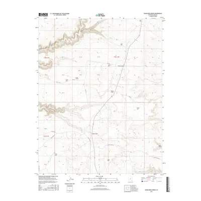
2017 Map of Cedar Mesa North
USGS Topo · Published 2017About this map
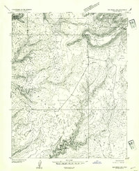
Grand Gulch and Cedar Mesa define the dramatic canyon-cut topography of this high desert landscape in San Juan County. This 2017 survey details the complex network of plateaus and drainages, including Todie Flat, Coyote Flat, and Brushy Flat. These level uplands are segmented by deep incisions like Bullet Canyon and Sheiks Canyon, which feed into the primary gulch system. A sparse network of unpaved tracks, such as Cigarette Springs RD and Slick Horn RD, provides the only modern access across this remote terrain. The presence of Todie Spring and the drainage of Lime Cr at the southern edge highlight the critical, limited water sources in an otherwise arid environment. This map captures the intersection of traditional land divisions like Polly Mesa and the expansive vistas of the Long Flat region.
Find a feature on this map
37 named features on this map. Tap any name to fly to it.
Don’t see what you’re looking for? This feature index may not catch every label — zoom into the map to look around manually.
Map Details
Editions of this 2017 Cedar Mesa North Map
This is the sole edition of this map. No revisions or reprints were ever made.
Other maps of this area

1886 · Henry Mountains
USGS Topo · 1:250,000
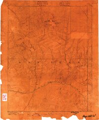
1886 · Abajo
USGS Topo · 1:250,000
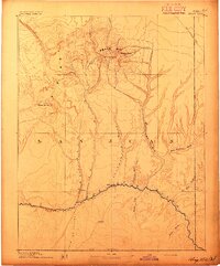
1892 · Abajo
USGS Topo · 1:250,000

1892 · Henry Mountains
USGS Topo · 1:250,000
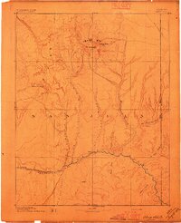
1893 · Abajo
USGS Topo · 1:250,000
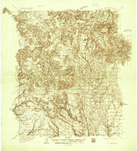
1935 · Elk Ridge
USGS Topo · 1:96,000
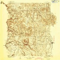
1940 · Elk Ridge
USGS Topo · 1:125,000
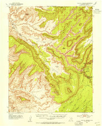
1952 · Natural Bridges
USGS Topo · 1:62,500
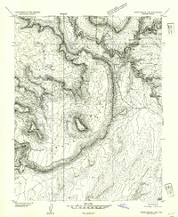
1954 · White Canyon 4 SE
USGS Topo · 1:24,000
1954 · Elk Ridge 3 SW
USGS Topo · 1:24,000