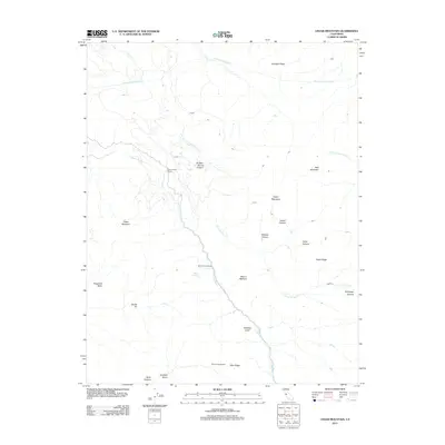
2012 Map of Cedar Mountain
USGS Topo · Published 2012About this map
Arroyo Mocho cuts a deep path through this upland region of Alameda County, defining the drainage patterns and historical travel routes along the corridor followed by Mines Rd. The landscape is a high-relief collection of ridges and peaks, including Mount Wallace, Cedar Mountain, and Bald Mountain, which overlook a series of named canyons such as Sulphur Spring Canyon and James Canyon.
Find a feature on this map
26 named features on this map. Tap any name to fly to it.
Don’t see what you’re looking for? This feature index may not catch every label — zoom into the map to look around manually.
Map Details
Editions of this 2012 Cedar Mountain Map
This is the sole edition of this map. No revisions or reprints were ever made.
Other maps of this area

1897 · Mt. Hamilton
USGS Topo · 1:62,500

1907 · Tesla
USGS Topo · 1:62,500

1916 · Tracy
USGS Topo · 1:31,680

1916 · Midway
USGS Topo · 1:31,680

1922 · Carbona
USGS Topo · 1:62,500

1938 · Mt. Boardman
USGS Topo · 1:62,500

1942 · Mt. Hamilton
USGS Topo · 1:62,500
1942 · Carbona
USGS Topo · 1:62,500

1942 · Mt. Boardman
USGS Topo · 1:62,500

1942 · Altamont
USGS Topo · 1:62,500