
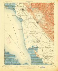
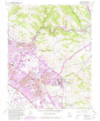
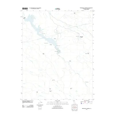
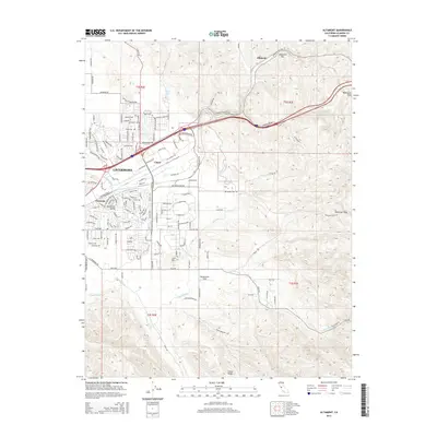
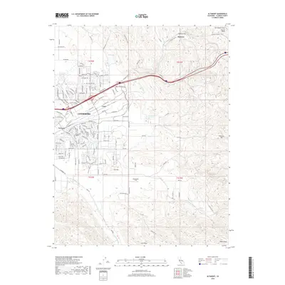
1942 Map of Altamont
USGS Topo · Published 1964About this map
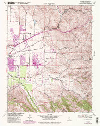
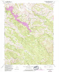
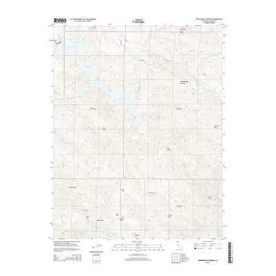
Altamont and Midway serve as the primary rail-oriented settlements in this eastern reach of the Livermore Valley, where the Southern Pacific and Pacific rail lines navigate the challenging geography of Patterson Pass. Surveyed during the early 1940s, the map reveals a landscape defined by cattle ranching and early transportation corridors, featuring family-held lands such as Mendenhall Ranch and the Pointers Homestead. The terrain rises sharply from the valley floor into the steep peaks of Crane Ridge and Cedar Mountain Ridge, reaching a high point at Cedar Mtn. Educational hubs for the rural community are documented at the Green School and Townsend School. Notable landmarks like the Lookout and various Mines suggest a mix of fire observation and resource extraction in the hills above Corral Hollow.
Find a feature on this map
57 named features on this map. Tap any name to fly to it.
Don’t see what you’re looking for? This feature index may not catch every label — zoom into the map to look around manually.
Map Details
Editions of this 1942 Altamont Map
This is the sole edition of this map. No revisions or reprints were ever made.
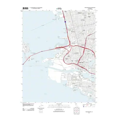
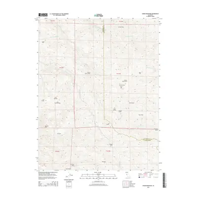
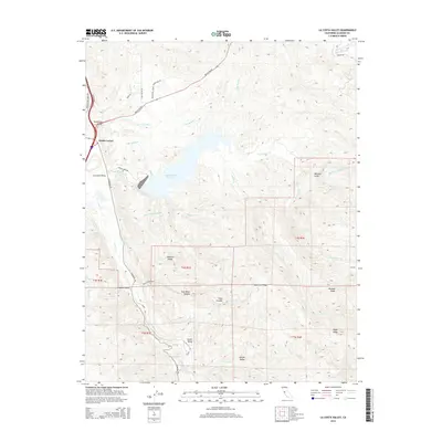
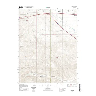
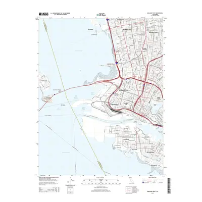
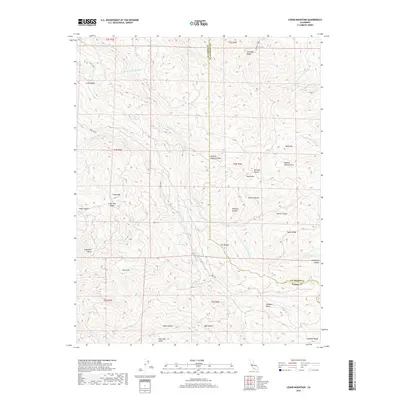
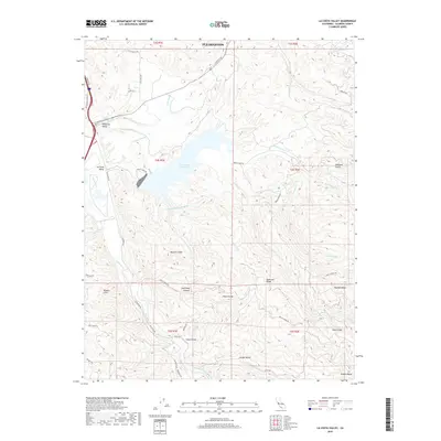
Historical Maps of Tracy Through Time
55 maps found
1899 Haywards
Alameda County, CA
1907 Tesla
Alameda County, CA

1916 Midway
Alameda County, CA
1942 Altamont
Alameda County, CA

1943 Tesla
Alameda County, CA
1947 Oakland East
Alameda County, CA

1949 Oakland East
Alameda County, CA
1949 Oakland West
Alameda County, CA
1953 Altamont
Alameda County, CA
1953 La Costa Valley
Alameda County, CA
1953 Midway
Alameda County, CA

1953 Niles
Alameda County, CA
1956 Cedar Mtn
Alameda County, CA
1956 Mendenhall Springs
Alameda County, CA
1959 Oakland East
Alameda County, CA
1959 Oakland West
Alameda County, CA
1960 La Costa Valley
Alameda County, CA
1961 Niles
Alameda County, CA

1968 La Costa Valley
Alameda County, CA

1993 Oakland West
Alameda County, CA

1996 La Costa Valley
Alameda County, CA

1996 Mendenhall Springs
Alameda County, CA

1997 Oakland East
Alameda County, CA
2012 Altamont
Alameda County, CA
2012 Cedar Mountain
Alameda County, CA
2012 La Costa Valley
Alameda County, CA
2012 Mendenhall Springs
Alameda County, CA
2012 Midway
Alameda County, CA
2012 Niles
Alameda County, CA
2012 Oakland East
Alameda County, CA
2012 Oakland West
Alameda County, CA
2015 Altamont
Alameda County, CA
2015 Cedar Mountain
Alameda County, CA
2015 La Costa Valley
Alameda County, CA
2015 Mendenhall Springs
Alameda County, CA
2015 Midway
Alameda County, CA
2015 Niles
Alameda County, CA
2015 Oakland East
Alameda County, CA
2015 Oakland West
Alameda County, CA
2018 Altamont
Alameda County, CA
2018 Cedar Mountain
Alameda County, CA
2018 La Costa Valley
Alameda County, CA
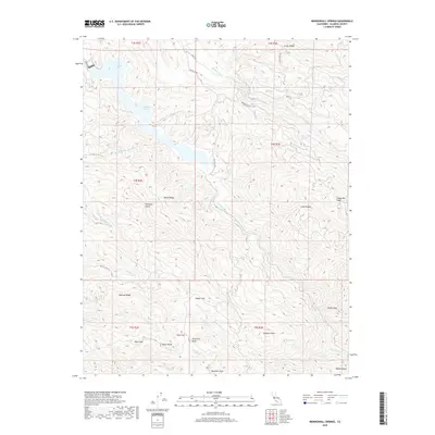
2018 Mendenhall Springs
Alameda County, CA
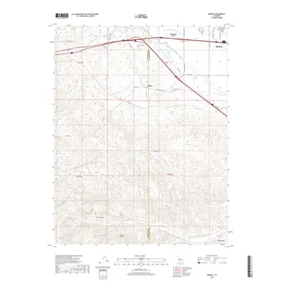
2018 Midway
Alameda County, CA
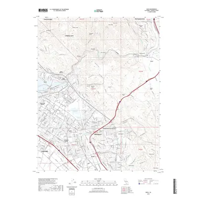
2018 Niles
Alameda County, CA
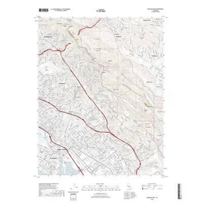
2018 Oakland East
Alameda County, CA
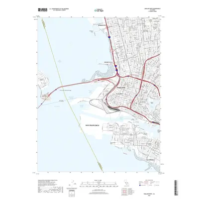
2018 Oakland West
Alameda County, CA
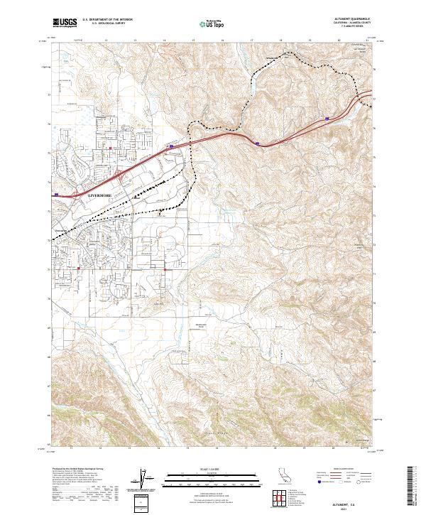
2021 Altamont
Alameda County, CA
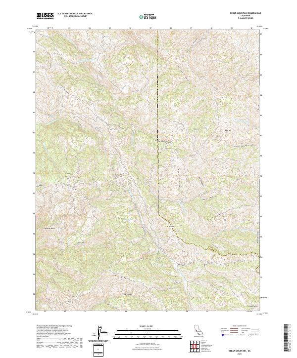
2021 Cedar Mountain
Alameda County, CA

2021 La Costa Valley
Alameda County, CA

2021 Mendenhall Springs
Alameda County, CA
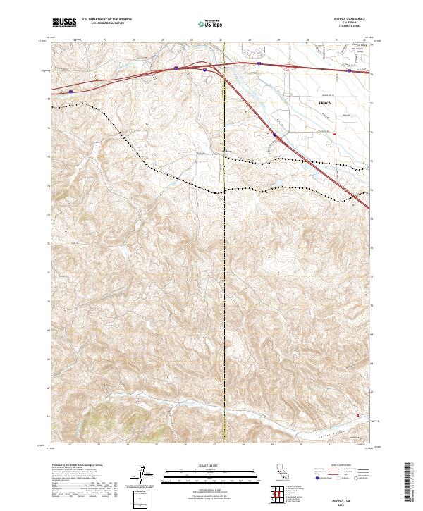
2021 Midway
Alameda County, CA
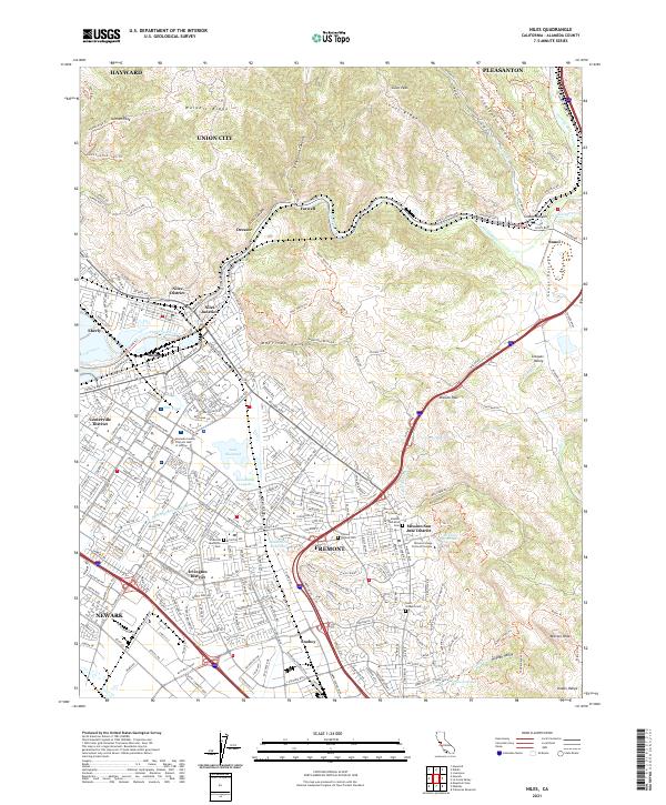
2021 Niles
Alameda County, CA
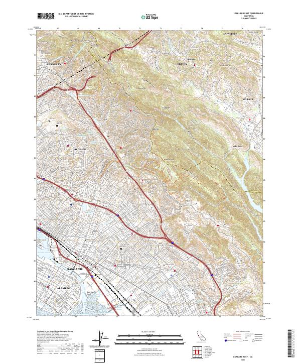
2021 Oakland East
Alameda County, CA

2021 Oakland West
Alameda County, CA