Old Maps of Tracy, California
Explore 30 old maps of Tracy, spanning from 1907 to today. These high-resolution historic maps reveal how streets, neighborhoods, landmarks, and natural features evolved over time — perfect for genealogy, metal detecting, research, and local history exploration.
What you can do with these maps:
- See how Tracy changed over time: Compare historical maps to modern-day views to trace roads, homesites, rail lines & more.
- View detailed metadata: Each map includes creators, publishers, year, scale, and archive source.
- Overlay maps with satellite & LiDAR: Visualize the past alongside modern tools to explore terrain & human change.
- Trusted historical sources: Maps sourced from the USGS, Library of Congress, and other archives.
- Access maps your way: View online, download high-res files, or order prints for personal or research use.
Start exploring old maps of Tracy to uncover forgotten places, hidden landmarks, and the deep history beneath your feet.
Tracy, CA maps
(30)- 1907 Map of Tesla
 1907 Tesla1907 Print · USGSThe industrial corridor of Corral Hollow comes to life in this early 1900s survey of the Alameda and San Joaquin border. Genealogists and historians can trace now-quiet locations like Tesla, Pottery, and the Sweet Springs Halfway House along the winding mountain passes.5 unique versions available
 - 1914 Map of Union Island
 1914 Union Island1914 Print · USGSThe San Joaquin Delta was a maze of reclaiming lands and new canals in the years before the Great War. Researchers can trace the early infrastructure of Union Island and find rural landmarks like the Naglee School and the Southern Pacific line.2 unique versions available
 - 1916 Map of Tracy
 1916 Tracy1916 Print · USGSIn the early twentieth century, the San Joaquin Valley floor was a complex web of competing rail lines centered on the growing town of Tracy. Researchers can trace the junction of the Southern Pacific and Western Pacific near early sites like Ellis and Jefferson School.3 unique versions available
 - 1916 Map of Midway
 1916 Midway1916 Print · USGSThe rail-and-ranching corridor of the Altamont pass comes to life in the years before the Great War. Genealogists and rail historians can trace the competing tracks of the Southern Pacific and Western Pacific as they converge near Midway.3 unique versions available
 - 1922 Map of Carbona
 1922 Carbona1922 Print · USGSSan Joaquin County at the dawn of the roaring twenties reveals a bustling rail landscape where the Southern Pacific meets the Western Pacific. Genealogists and historians can trace early school districts like New Jerusalem School and find industrial roots at the Buckeye Mines.3 unique versions available
 - 1942 Map of Carbona
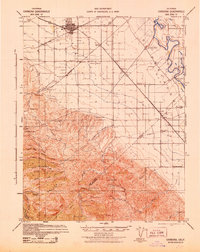 1942 Carbona1942 Print · USGSThe rail-and-river landscape of the San Joaquin Valley is captured here just as Tracy was expanding into a regional hub. Genealogists and historians can trace the rural school system through New Jerusalem School and find local landmarks like the Brichetto Tomb and Buckeye Mines.
 - 1942 Map of Altamont, 1964 Print
 1942 Altamont1964 Print · USGSEastern Alameda County at the start of the war shows a landscape of rail sidings and cattle ranching as the valley meets the ridges. Genealogists and historians can trace family locations like Mendenhall Ranch, rural landmarks like Green School, and the steep rail route through Altamont.
 - 1943 Map of Tesla
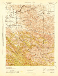 1943 Tesla1943 Print · USGSThe Livermore Valley and the rugged Diablo Range are shown during the early 1940s, featuring the critical rail junction at Altamont. Genealogists and historians can locate rural landmarks like the Green School, the Mendenhall Ranch, and the isolated Pointers Homestead.
 - 1947 Map of San Jose, 1948 Print
 1947 San Jose1948 Print · USGSNorthern California's heartland is captured here just after the war, showing the rapid growth of the Santa Clara and Central Valleys. Researchers can trace the legacy of rail and water at Castle Air Force Base, Stockton, and the Hetch Hetchy Aqueduct.
 - 1952 Map of Union Island, 1953 Print
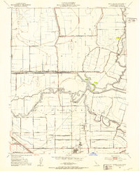 1952 Union Island1953 Print · USGSThe San Joaquin Delta of the early fifties is mapped here as a productive landscape of reclaimed land and sloughs. Researchers can trace the legacy of local education and industry through the David Bixler Sch and the Sugar Refinery.4 unique versions available
 - 1952 Map of Stockton, 1959 Print
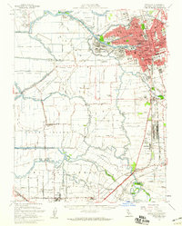 1952 Stockton1959 Print · USGSThe San Joaquin Delta during the early fifties shows a thriving river economy and growing urban centers at the heart of the Central Valley. Genealogists can trace rural life through numerous one-room schools like David Bixler School or find industrial roots at the Sugar Refinery and Sharpe General Depot.2 unique versions available
 - 1953 Map of Midway, 1955 Print
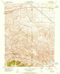 1953 Midway1955 Print · USGSAltamont Pass and the Diablo Range are captured here during a period of major infrastructure growth in the early fifties. Genealogists and industrial historians can trace the foundations of former boomtowns like Tesla (Site) and Carnegie (Site) alongside the massive Delta-Mendota Canal.6 unique versions available
 - 1954 Map of Tracy, 1955 Print
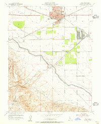 1954 Tracy1955 Print · USGSMid-century Tracy emerges as a vital California rail and water hub just as the region's massive canal projects were being completed. Researchers can locate vanished infrastructure and landmarks like the Sharpe General Depot, Carbona, and the Manganese Mill in Corral Hollow.6 unique versions available
 - 1956 Map of San Jose
 1956 San Jose1956 Print · USGSCentral California in the mid-fifties reveals the transition from sprawling orchards to growing urban hubs like San Jose and Stockton. Genealogists and historians can trace the rail-era landscape of the Mother Lode through Chinese Camp and Tuttletown, or follow the water through the Joaquin River and Calaveras Reservoir.
 - 1962 Map of San Jose
 1962 San Jose1962 Print · USGSCentral California in the early sixties showcases the expansion of the San Joaquin and Santa Clara valleys. Researchers can trace the rail-to-road transition along the Southern Pacific RR or locate landmarks like Castle USAF Base and Loma Prieta.4 unique versions available
 - 1966 Map of San Jose
 1966 San Jose1966 Print · USGSCentral California in the mid-1960s reveals a landscape of massive irrigation projects and expanding Cold War military footprints. Researchers can trace the rail-and-river network of the San Joaquin Valley or locate specialized sites like Castle Air Force Base and the Sharp General Depot (Military).
 - 1978 Map of Union Island
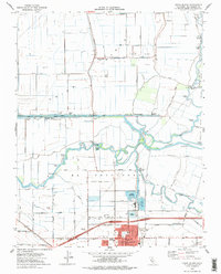 1978 Union Island1978 Print · USGSThe reclaimed delta lands of San Joaquin County are shown in the late seventies as industrial and residential growth reaches the Tracy area. Researchers can trace the hydraulic history of the region through the Old River, Delta Island Sch, and Tom Paine Slough.
 - 1989 Map of Stockton
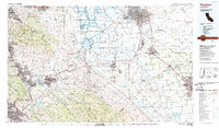 1989 Stockton1989 Print · USGSDuring the late 1980s, the California Delta and San Joaquin Valley saw a massive convergence of water infrastructure and military logistics. Researchers can trace the sprawling Lawrence Livermore Laboratory (Univ of Calif) and Sharpe Army Depot alongside the complex waterways of Union Island and Victoria Island.2 unique versions available
 - 2012 Map of Union Island, 2012 Print
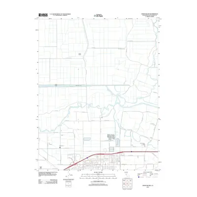 2012 Union Island2012 Print · USGSThe San Joaquin Delta region west of Tracy comes into focus in the early 2010s, showcasing a landscape of reclaimed islands and active energy production. Local history researchers can trace the engineering of Grant Line Canal and locate agricultural landmarks like Ornellas Dairy and the Union Island Gas Field.
 - 2012 Map of Midway, 2012 Print
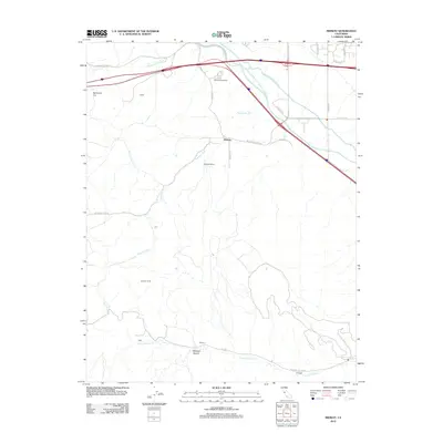 2012 Midway2012 Print · USGSThe hills west of Tracy are shown here in the early twenty-first century, revealing a landscape of historic mining sites and massive water projects. Researchers can trace the path of the Delta-Mendota Canal or locate the old grounds of Tesla and Pottery.
 - 2012 Map of Tracy, 2012 Print
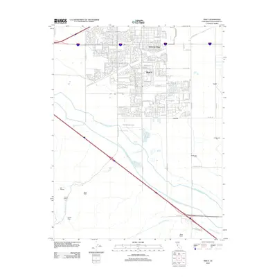 2012 Tracy2012 Print · USGSThe growing city of Tracy and its surrounding valley floor are shown during a period of significant suburban expansion and massive water-works development. Researchers can trace the paths of the Hetch Hetchy Aqueduct and locate sites like the Tracy Cem and Wainwright Village.
 - 2015 Map of Tracy, 2015 Print
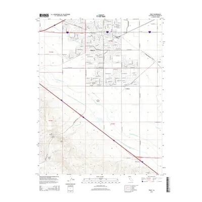 2015 Tracy2015 Print · USGSSan Joaquin County in the mid-2010s is defined by its massive water infrastructure and expanding rail-and-road junctions. Researchers can trace local landmarks like the Tracy Municipal Airport, Wainwright Village, and the historical site of the Brichetto Tomb.
 - 2015 Map of Union Island, 2015 Print
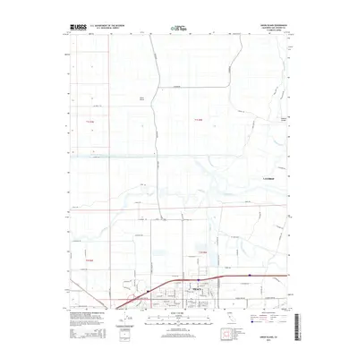 2015 Union Island2015 Print · USGSThe San Joaquin Delta in the mid-2010s reveals a sophisticated water-management landscape between the growing hubs of Tracy and Lathrop. Genealogists and historians can trace the intricate network of the Grant-Line Canal, Union Island, and Paradise Cut.
 - 2015 Map of Midway, 2015 Print
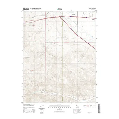 2015 Midway2015 Print · USGSThe San Joaquin Valley foothills meet massive industrial water projects in this mid-2010s survey west of Tracy. Researchers can trace the path of the California Aqueduct past Mountain House and into the rugged Corral Hollow.
 - 2018 Map of Union Island, 2018 Print
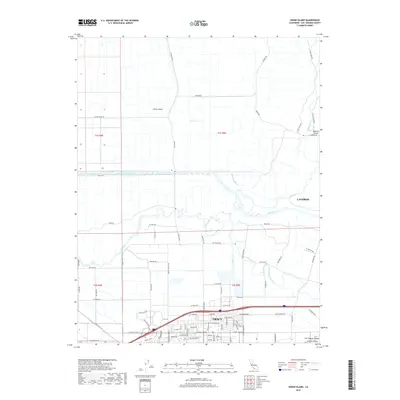 2018 Union Island2018 Print · USGSThe San Joaquin Delta country south of Lathrop is shown here in its contemporary landscape of islands and intricate canals. Genealogists and historians can trace the evolution of Union Island through its levee roads and waterways like Grant Line Canal and Tom Paine Slough.
Showing maps 1-25 of 30
Top cities near Tracy
- Stockton historical maps
- Brentwood historical maps
- Mountain House historical maps
- Lathrop historical maps
- Discovery Bay historical maps
- Byron historical maps
Top neighborhoods of Tracy
- Ryland Junction historical maps
- Bridle Creek historical maps
- Ellis historical maps
- Sunset Park historical maps
- Victoria Greens historical maps
- Sienna Park historical maps
See more
Frequently asked questions
- What are the different types of historical maps available for Tracy?
- What is the oldest map of Tracy?
- Where can I purchase historical maps of Tracy for my home or office?
- Where can I download high-res historical maps of Tracy?
- Are there historical topographic maps available for Tracy?
- Is there historical aerial imagery available for Tracy?
- Where are historical maps of Tracy sourced from?